|
search place name
|
||
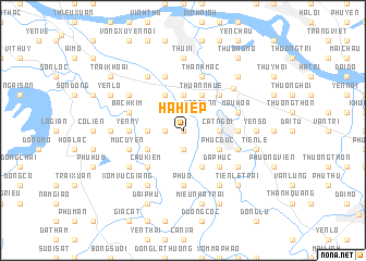
Hạ Hiệp (Vietnam)Hạ Hiệp is a town in Vietnam. An overview map of the region around Hạ Hiệp is displayed below.
regional and 3d topo map of Hạ Hiệp, Vietnam ::
Hạ Hiệp airports ::
The nearest airport is HAN - Hanoi Noibai Intl, located 27.4 km north east of Hạ Hiệp.
Nearby towns ::
Dị Nậu (0.0km north) //
Hương Ngai (1.7km west) //
Bình Xá (1.9km south) //
Hòa Thôn (2.5km north east) //
Ðại Diền (3.7km north) //
Cát Ngòi (3.5km east) //
Chi Quan (3.5km west) //
Thuan Nhue (4.1km north east) //
Phùng Thôn (4.1km south east) //
Ngọc Tảo (4.1km north west) //
Phúc Ðức (3.9km south east) //
Xóm Chua Thanh (3.9km south west) //
Thâp Thuan (5.1km north east) //
Ða Phúc (5.1km south east) //
Cảu Kiêm (5.1km south west) //
Quế Dương (5.2km east) //
Yên Mỹ (5.2km west) //
Phú Ổ (5.6km south) //
Ðồng Bột (5.6km south) //
Thanh Mạc (5.8km north) //
Bách Kim (5.5km west) //
Mậu Hòa (5.5km east) //
Thọ Láo (5.5km east) //
Ðắc Sở (5.5km east) //
Mục Uyên (5.5km west) //
Hương Vĩnh (5.8km north) //
Ðại Ðồng (6.4km north west) //
Bằng Trù (6.4km south west) //
Khánh Tàn (6.4km south east) //
[all distances 'as the bird flies' and approximate] 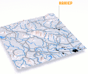 Places with similar names to Hạ Hiệp, Vietnam ::
// Hohopu (TP)
// Houay Houp (LA)
Disclaimer :: Information on this page comes without warranty of any kind |
||
|
Where is Hạ Hiệp? Elevation and coordinates ::
Latitude (lat): 21°3'0"N Longitude (lon): 105°37'0"E
Elevation (approx.): 11m (map arrows pan, magnifying glasses zoom) |
||
|
Visiting Hạ Hiệp? Hotel/Accommodation ::
Book a hotel in Hạ Hiệp Travel Guide ::
Buy a travel guide for Vietnam rental cars ::
car rental offers GPS waypoint ::
download a GPX waypoint (PoI) of Hạ Hiệp for your GPS receiver
|
||