|
search place name
|
||
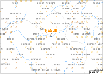
Kệ Sơn (Vietnam)Kệ Sơn is a town in Vietnam. An overview map of the region around Kệ Sơn is displayed below.
regional and 3d topo map of Kệ Sơn, Vietnam ::
Kệ Sơn airports ::
The nearest airport is HAN - Hanoi Noibai Intl, located 48.5 km north east of Kệ Sơn.
Nearby towns ::
Ðông Bái (1.7km west) //
Ðồng Thuy (1.7km west) //
Nhuận Trạch (1.7km east) //
Mông Thượng (2.5km north west) //
Làng Hang (2.5km south east) //
Xóm Giang (2.5km south east) //
Nước Bái (3.5km west) //
Ðâm Ðà (3.7km south) //
Làng Rụt (3.9km south west) //
Ðồng Gội (4.1km north east) //
Ðông Sầm (4.1km north east) //
Suối Sao (4.1km south east) //
Ðồng Sâm (3.9km south east) //
Rông Cấn (5.1km north west) //
Làng Râm (5.1km south west) //
Xóm Vé (5.2km west) //
Ðà Vẽ (5.2km west) //
Quất Lâm (5.6km north) //
Chân Miên (5.8km south) //
Rống Vong (6.4km north west) //
Súc Sich (6.4km north west) //
Suối Yêng (6.6km north west) //
Xuân Mai (6.4km north east) //
Nước Ðơ (6.4km south east) //
Ngọc Lâm (7.4km south) //
Ðồng Vo (7.6km north) //
Côt Bài (7.2km west) //
Bóng Suối (7.6km north) //
Ðông Lô (7.6km south) //
[all distances 'as the bird flies' and approximate] 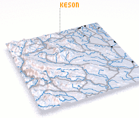 Places with similar names to Kệ Sơn, Vietnam ::
Disclaimer :: Information on this page comes without warranty of any kind |
||
|
Where is Kệ Sơn? Elevation and coordinates ::
Latitude (lat): 20°52'0"N Longitude (lon): 105°32'0"E
Elevation (approx.): 14m (map arrows pan, magnifying glasses zoom) |
||
|
Visiting Kệ Sơn? Hotel/Accommodation ::
Book a hotel in Kệ Sơn Travel Guide ::
Buy a travel guide for Vietnam rental cars ::
car rental offers GPS waypoint ::
download a GPX waypoint (PoI) of Kệ Sơn for your GPS receiver
|
||