|
search place name
|
||
Lạc Gián (Hà Bắc, Vietnam)Lạc Gián is a town in the Hà Bắc region of Vietnam. An overview map of the region around Lạc Gián is displayed below.
regional and 3d topo map of Lạc Gián, Vietnam ::

Lạc Gián airports ::
The nearest airport is HAN - Hanoi Noibai Intl, located 44.4 km west of Lạc Gián.
Other airports nearby include NNG - Nanning Wuxu (250.5 km north east), Nearby towns ::
Xuân Thôn (1.7km west) //
Giang Thon (1.9km south) //
Thanh Cam (1.9km south) //
Lũ Phú (1.7km east) //
Thôn Gạo (2.5km north east) //
Ðĩnh Kế (3.7km north) //
Làng Thành (4.1km north west) //
Bắc Giang (3.9km north west) //
Phấn Sơn (3.9km south west) //
Duồng Thôn (4.1km south east) //
Long Tri (3.9km north east) //
Hoa Yên (5.1km north west) //
Ðông Loan (5.1km south east) //
Thôn Mỹ (5.1km north east) //
Phần Trì (1) (5.2km west) //
Hương Tảo (5.6km south) //
Dào Tràng (5.5km east) //
Nam Xương (6.4km north west) //
Toản Thành (6.4km north east) //
Yên Tập Núi (6.5km south west) //
Dĩnh Lục (6.5km north east) //
Yêu Khê (6.9km west) //
Quỹnh Sơn (6.9km east) //
Thọ Thôn (7.4km south) //
Ðông Thôn (7) (7.2km west) //
Mỹ Cầu (7.2km west) //
Bình An (7.2km west) //
Ha Thon (7.6km north) //
Thôn Vơi (7.2km east) //
[all distances 'as the bird flies' and approximate] 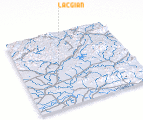 Places with similar names to Lạc Gián, Vietnam ::
Disclaimer :: Information on this page comes without warranty of any kind |
||
|
Where is Lạc Gián? Elevation and coordinates ::
Latitude (lat): 21°15'0"N Longitude (lon): 106°14'0"E
Elevation (approx.): 5m (map arrows pan, magnifying glasses zoom) |
||
|
Visiting Lạc Gián? Hotel/Accommodation ::
Book a hotel in Lạc Gián Travel Guide ::
Buy a travel guide for Vietnam rental cars ::
car rental offers GPS waypoint ::
download a GPX waypoint (PoI) of Lạc Gián for your GPS receiver
|
||