|
search place name
|
||
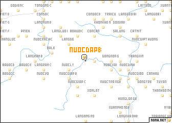
Nước Ðâp (1) (Vietnam)Nước Ðâp (1) is a town in Vietnam. An overview map of the region around Nước Ðâp (1) is displayed below.
regional and 3d topo map of Nước Ðâp (1), Vietnam ::
Nước Ðâp (1) airports ::
The nearest airport is DAD - Danang Intl, located 167.9 km north west of Nước Ðâp (1).
Nearby towns ::
Ðồng Mít (1) (1.8km east) //
Ðồng Mít (3) (1.8km east) //
Nước Ly (4.0km south west) //
Làng Ðề (5.2km north west) //
Nước Giáp (1) (5.2km south west) //
Ðồng Nống (5.4km east) //
Con Căn (5.8km north) //
Nước Xai (5.7km east) //
Bồ Huôi (2) (5.8km north) //
Nước Giáp (2) (5.8km south) //
Nước Trong Thương (7.2km east) //
Nước Trong Ha (7.4km east) //
Xóm Lát (7.6km south) //
Bà Lế (7.4km west) //
Thắng Rươu (7.6km south) //
Làng Luôi (7.7km north west) //
Nước Trang (1) (7.7km south east) //
Hóc Khoan (8.1km south east) //
Khon Khen (8.2km north east) //
Sa Lung (9.1km north east) //
Làng Dèu (9.2km north west) //
Goi Gia (1) (10.3km north east) //
[all distances 'as the bird flies' and approximate] 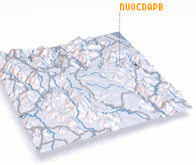 Places with similar names to Nước Ðâp (1), Vietnam :: Disclaimer :: Information on this page comes without warranty of any kind |
||
|
Where is Nước Ðâp (1)? Elevation and coordinates ::
Latitude (lat): 14°39'0"N Longitude (lon): 108°49'0"E
Elevation (approx.): 190m (map arrows pan, magnifying glasses zoom) |
||
|
Visiting Nước Ðâp (1)? Hotel/Accommodation ::
Book a hotel in Nước Ðâp (1) Travel Guide ::
Buy a travel guide for Vietnam rental cars ::
car rental offers GPS waypoint ::
download a GPX waypoint (PoI) of Nước Ðâp (1) for your GPS receiver
|
||