|
search place name
|
||
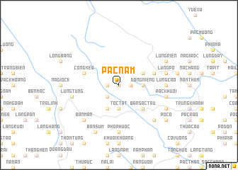
Pác Nặm (Cao Bằng, Vietnam)Pác Nặm is a town in the Cao Bằng region of Vietnam. An overview map of the region around Pác Nặm is displayed below.
regional and 3d topo map of Pác Nặm, Vietnam ::
Pác Nặm airports ::
The nearest airport is NNG - Nanning Wuxu, located 182.6 km east of Pác Nặm.
Other airports nearby include HAN - Hanoi Noibai Intl (192.8 km south), Nearby towns ::
Bình Sa (0.0km north) //
Rằng Rảng (1.7km east) //
Nà Giôc (2) (1.7km west) //
Bản Thừn (2.5km south west) //
Ðông Niếng (3.4km east) //
Tốc Tát (3.7km south) //
Lũng Bắng (3.9km north east) //
Bản Ngẳn (4.1km south west) //
Bản Sác Tẩu (5.0km south east) //
Công Kéo (5.4km west) //
Lũng Chuông (5.4km east) //
Lũng Cao (6.8km east) //
Bản Khăn (7.4km south) //
Phò Phươc (7.4km south) //
Lũng Po (7.1km east) //
Giôc Nạn (7.1km east) //
Pác Khuổi (7.1km east) //
Lũng Tung (7.1km west) //
Bản Mán (7.6km south west) //
Khôn Sa (7.6km south east) //
Lũng Riễn (7.8km north east) //
Làng Muổn (7.8km south east) //
Bản Súm (8.2km south west) //
Pò Có (8.8km south east) //
[all distances 'as the bird flies' and approximate] 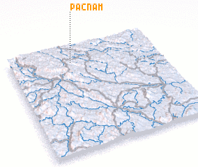 Places with similar names to Pác Nặm, Vietnam ::
Disclaimer :: Information on this page comes without warranty of any kind |
||
|
Where is Pác Nặm? Elevation and coordinates ::
Latitude (lat): 22°52'0"N Longitude (lon): 106°25'0"E
Elevation (approx.): 694m (map arrows pan, magnifying glasses zoom) |
||
|
Visiting Pác Nặm? Hotel/Accommodation ::
Book a hotel in Pác Nặm Travel Guide ::
Buy a travel guide for Vietnam rental cars ::
car rental offers GPS waypoint ::
download a GPX waypoint (PoI) of Pác Nặm for your GPS receiver
|
||