|
search place name
|
||
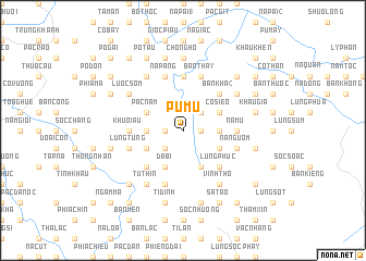
Pù Mu (Cao Bằng, Vietnam)Pù Mu is a town in the Cao Bằng region of Vietnam. An overview map of the region around Pù Mu is displayed below.
regional and 3d topo map of Pù Mu, Vietnam ::
Pù Mu airports ::
The nearest airport is NNG - Nanning Wuxu, located 157.2 km east of Pù Mu.
Other airports nearby include HAN - Hanoi Noibai Intl (190.3 km south west), Nearby towns ::
Phiềng Phía (1.7km east) //
Nà Theng (1.7km west) //
Nà Hát (2.5km north east) //
Bản Nhẳng (2.5km north east) //
Bản Pung (2.5km north east) //
Cồc Chia (2.5km south west) //
Bản Bầng Nưa (3.4km east) //
Khuổi Ái (3.4km west) //
Lũng Hoài (1) (4.1km south east) //
Co Siềo (3.9km north east) //
Bản Háo (3.9km south east) //
Ðà Bì (4.1km south west) //
Lũng Giuông (4.1km south west) //
Pác Nậm (3.9km north west) //
Bản Tao (3.9km south west) //
Lũng Phục (5.0km south east) //
Bản Kha (2) (5.0km north east) //
Phia Ðeng (5.0km south west) //
Nà Mu (5.1km east) //
Bản Sà (5.1km east) //
Bản Bóng Tẩu (5.6km north) //
Ðông Phén (5.1km west) //
Khuổi Ấu (5.1km west) //
Bản Gioa (5.5km east) //
Bản Thay (5.8km north) //
Nà Ngườm (5.5km east) //
Nà Pẳng (5.8km north) //
Co Cam (2) (5.8km south) //
Lũng Tủng (5.5km west) //
[all distances 'as the bird flies' and approximate]  Places with similar names to Pù Mu, Vietnam ::
Disclaimer :: Information on this page comes without warranty of any kind |
||
|
Where is Pù Mu? Elevation and coordinates ::
Latitude (lat): 22°45'0"N Longitude (lon): 106°39'0"E
Elevation (approx.): 671m (map arrows pan, magnifying glasses zoom) |
||
|
Visiting Pù Mu? Hotel/Accommodation ::
Book a hotel in Pù Mu Travel Guide ::
Buy a travel guide for Vietnam rental cars ::
car rental offers GPS waypoint ::
download a GPX waypoint (PoI) of Pù Mu for your GPS receiver
|
||