|
search place name
|
||
Trại Van (Vietnam)Trại Van is a town in Vietnam. An overview map of the region around Trại Van is displayed below.
regional and 3d topo map of Trại Van, Vietnam ::

Trại Van airports ::
The nearest airport is HAN - Hanoi Noibai Intl, located 193.4 km south east of Trại Van.
Nearby towns ::
Làng Con (2.5km north west) //
Làng Bùn (3.4km west) //
Làng Fan (3.9km north east) //
Làng Li (5.1km south east) //
Làng Bùn (5.5km west) //
Làng Tóc (5.8km south) //
Tam Phat (6.5km south west) //
Khê Ho (6.3km north west) //
Làng Lân (6.5km south east) //
Tầm Song (7.4km south) //
Koc Né (7.6km north east) //
Làng Ẻn (7.8km south west) //
Làng Nhò (8.2km north west) //
Làng Lú (8.8km south west) //
Trân An Phố (9.0km south east) //
Mong Mai (8.8km north east) //
Bảo Hà (8.8km south east) //
Tien Fang (9.0km north east) //
[all distances 'as the bird flies' and approximate] 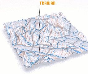 Places with similar names to Trại Van, Vietnam ::
Disclaimer :: Information on this page comes without warranty of any kind |
||
|
Where is Trại Van? Elevation and coordinates ::
Latitude (lat): 22°14'0"N Longitude (lon): 104°17'0"E
Elevation (approx.): 68m (map arrows pan, magnifying glasses zoom) |
||
|
Visiting Trại Van? Hotel/Accommodation ::
Book a hotel in Trại Van Travel Guide ::
Buy a travel guide for Vietnam rental cars ::
car rental offers GPS waypoint ::
download a GPX waypoint (PoI) of Trại Van for your GPS receiver
|
||