|
search place name
|
||
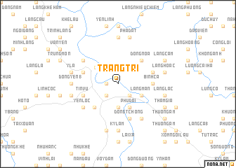
Tràng Trí (Vietnam)Tràng Trí is a town in Vietnam. An overview map of the region around Tràng Trí is displayed below.
regional and 3d topo map of Tràng Trí, Vietnam ::
Tràng Trí airports ::
The nearest airport is HAN - Hanoi Noibai Intl, located 86.3 km south east of Tràng Trí.
Nearby towns ::
Ngòi Thuc (1.7km west) //
Thục Thủy (2.5km south east) //
Kỳ Thạch (2.5km south west) //
Làng Ðươc (3.7km south) //
Hòa Mục (3.7km south) //
Làng Mán (3.9km south east) //
Phú Ðai (4.1km south east) //
Tuyên Quang (4.2km north west) //
Ðõng Noa (5.1km north east) //
Souei Ling (5.1km south west) //
Bình Ca (5.2km east) //
Khôn Ðôi (5.5km east) //
Làng Chang (5.5km west) //
Tin Vu (5.5km west) //
Ðong Tchong (5.8km south) //
Tràng Ðà (6.4km north west) //
Làng Youc Xao (6.5km south east) //
Yên Lộc (6.4km south west) //
Ðồng Yên (1) (6.9km west) //
Ðông Thàn (7.4km north) //
Kỳ Lãm (7.4km south) //
Ỷ La (7.1km west) //
Làng Hoac (7.1km east) //
Kỳ Lãm (7.6km south) //
Pha Dat (7.6km north) //
Làng Lạc (7.1km east) //
Gieng Chanh (7.1km west) //
Ðồng Yên (3) (7.1km west) //
Làng Cam (7.8km north east) //
[all distances 'as the bird flies' and approximate] 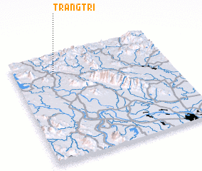 Places with similar names to Tràng Trí, Vietnam ::
Disclaimer :: Information on this page comes without warranty of any kind |
||
|
Where is Tràng Trí? Elevation and coordinates ::
Latitude (lat): 21°48'0"N Longitude (lon): 105°15'0"E
Elevation (approx.): 22m (map arrows pan, magnifying glasses zoom) |
||
|
Visiting Tràng Trí? Hotel/Accommodation ::
Book a hotel in Tràng Trí Travel Guide ::
Buy a travel guide for Vietnam rental cars ::
car rental offers GPS waypoint ::
download a GPX waypoint (PoI) of Tràng Trí for your GPS receiver
|
||