|
search place name
|
||
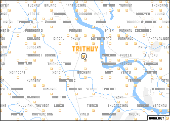
Trí Thủy (Vietnam)Trí Thủy is a town in Vietnam. An overview map of the region around Trí Thủy is displayed below.
regional and 3d topo map of Trí Thủy, Vietnam ::
Trí Thủy airports ::
The nearest airport is HAN - Hanoi Noibai Intl, located 57.4 km north of Trí Thủy.
Nearby towns ::
Khả Liễu (0.0km north) //
Co Trai (1.9km south) //
Mỹ Lâm (2.5km north west) //
Bạch Sam (3.7km south) //
Khai Thái (3.5km east) //
Phú Mỹ (4.1km north west) //
Nam Quất (4.1km north west) //
Phong Triều (4.1km north east) //
Tư Can (5.1km south west) //
Duyên Trang (5.1km north east) //
Bái Xuyên (5.1km south east) //
Dức Ninh (5.2km east) //
Co Chau (5.6km north) //
Xóm Canh (5.2km east) //
Chuyên Mỹ Trung (5.5km west) //
Dang Thon (5.8km north) //
Vạn Diểm (5.8km north) //
Vĩnh Ninh (5.5km east) //
Duyên Yết (5.8km north) //
Thịnh Dức Thần (5.5km west) //
Ðịa Mãn (6.6km north west) //
Thọ Nham (6.4km north east) //
Già Cầu (6.4km north west) //
Phó Nham (6.4km north east) //
Ngọc Trúc (6.6km south west) //
Du Mỹ (6.4km south east) //
Xóm Ðình (6.4km south west) //
Bối Khê (6.9km west) //
Nho Lâm (6.9km east) //
[all distances 'as the bird flies' and approximate] 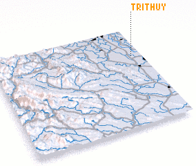 Places with similar names to Trí Thủy, Vietnam ::
Disclaimer :: Information on this page comes without warranty of any kind |
||
|
Where is Trí Thủy? Elevation and coordinates ::
Latitude (lat): 20°43'0"N Longitude (lon): 105°56'0"E
Elevation (approx.): 4m (map arrows pan, magnifying glasses zoom) |
||
|
Visiting Trí Thủy? Hotel/Accommodation ::
Book a hotel in Trí Thủy Travel Guide ::
Buy a travel guide for Vietnam rental cars ::
car rental offers GPS waypoint ::
download a GPX waypoint (PoI) of Trí Thủy for your GPS receiver
|
||