|
search place name
|
||
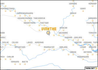
Vinh Thê (Vietnam)Vinh Thê is a town in Vietnam. An overview map of the region around Vinh Thê is displayed below.
regional and 3d topo map of Vinh Thê, Vietnam ::
Vinh Thê airports ::
The nearest airport is ZVK - Savannakhet, located 203.3 km south west of Vinh Thê.
Nearby towns ::
Phú Sơn (1.9km north) //
Phúc Lâm Thôn (1.9km north) //
Thượng Phú (1.9km north) //
Cho Phong (1.8km east) //
Mã Thương (2.6km north east) //
Tang Ngoại (2.6km north east) //
Cao Trạch (2.6km north east) //
Tuyên Hóa (2.6km north east) //
Cổ Cảng (3.5km east) //
Ðồng Tâm (4.0km north west) //
Ngoc Lâm (4.0km north west) //
Hung Bò (4.1km north west) //
Huyền Nữu (4.1km north west) //
Thiết Sơn (4.1km north west) //
Thạch Sơn (5.1km north west) //
Hung Nhai (5.1km south west) //
Gồ Cào Bắc (5.3km east) //
Phu Nguyên (5.6km south) //
Co Lung (5.6km south) //
Minh Cầm (5.6km east) //
Cao Mại (1) (5.8km south) //
Lạc Sơn (5.6km east) //
Lâm Lang (5.8km south) //
Thạch Sơn Xã (6.6km north west) //
Xuân Mai (7.3km east) //
Xóm Chùa (7.7km south east) //
Xóm Lang (7.7km south east) //
Hà Sơn Trang (8.0km north west) //
La Ken (8.0km south west) //
[all distances 'as the bird flies' and approximate] 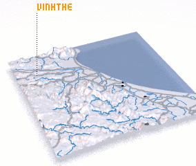 Places with similar names to Vinh Thê, Vietnam ::
Disclaimer :: Information on this page comes without warranty of any kind |
||
|
Where is Vinh Thê? Elevation and coordinates ::
Latitude (lat): 17°49'0"N Longitude (lon): 106°9'0"E
Elevation (approx.): 177m (map arrows pan, magnifying glasses zoom) |
||
|
Visiting Vinh Thê? Hotel/Accommodation ::
Book a hotel in Vinh Thê Travel Guide ::
Buy a travel guide for Vietnam rental cars ::
car rental offers GPS waypoint ::
download a GPX waypoint (PoI) of Vinh Thê for your GPS receiver
|
||