|
search place name
|
||
Xóm Giáp Nước (Minh Hải, Vietnam)Xóm Giáp Nước is a town in the Minh Hải region of Vietnam. An overview map of the region around Xóm Giáp Nước is displayed below.
regional and 3d topo map of Xóm Giáp Nước, Vietnam ::

Xóm Giáp Nước airports ::
The nearest airport is SGN - Ho Chi Minh City Tansonnhat Intl, located 277.1 km north east of Xóm Giáp Nước.
Nearby towns ::
Ngã Ba Ðình (4.1km south west) //
Xóm Thi Tương (5.2km north east) //
Dinh Ðiền Phú Mỹ (5.5km west) //
Ấp Thi Tường (5.9km north) //
Ấp Ðất Cháy (6.7km north west) //
Quản Phu (7.8km south west) //
Hưng Mỹ (8.3km south east) //
Cái Nước (8.2km south east) //
Ấp Ông Khám (9.7km north east) //
Ấp Vình Gốc (10.6km north east) //
[all distances 'as the bird flies' and approximate] 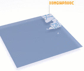 Places with similar names to Xóm Giáp Nước, Vietnam ::
// Xóm Giáp Nước (VN)
Disclaimer :: Information on this page comes without warranty of any kind |
||
|
Where is Xóm Giáp Nước? Elevation and coordinates ::
Latitude (lat): 8°58'0"N Longitude (lon): 104°57'0"E
Elevation (approx.): 4m (map arrows pan, magnifying glasses zoom) |
||
|
Visiting Xóm Giáp Nước? Hotel/Accommodation ::
Book a hotel in Xóm Giáp Nước Travel Guide ::
Buy a travel guide for Vietnam rental cars ::
car rental offers GPS waypoint ::
download a GPX waypoint (PoI) of Xóm Giáp Nước for your GPS receiver
|
||