|
search place name
|
||
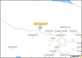
An Nukhr (‘Adan, Yemen)An Nukhr is a town in the ‘Adan region of Yemen. An overview map of the region around An Nukhr is displayed below.
regional and 3d topo map of An Nukhr, Yemen ::
An Nukhr airports ::
The nearest airport is SHW - Sharurah, located 211.6 km north west of An Nukhr.
Nearby towns ::
Al Ḩudaybah (0.7km west) //
Ḩujaylah (2.6km south west) //
Al Khasf (2.6km south west) //
As Saylah (4.0km south east) //
Bayt Qishn (4.7km south east) //
Ar Rubā‘īyah (5.1km south west) //
‘Arḑ Āl Ḩuwayl (6.6km south east) //
Findah (7.4km south east) //
Ar Ramlah (8.1km south east) //
As Salhabīyah (8.2km south east) //
Al Maşna‘ah (9.0km south east) //
Haynan (9.2km south east) //
Ḩazm Haynan (10.1km south east) //
[all distances 'as the bird flies' and approximate] 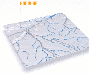 Places with similar names to An Nukhr, Yemen ::
Disclaimer :: Information on this page comes without warranty of any kind |
||
|
Where is An Nukhr? Elevation and coordinates ::
Latitude (lat): 15°53'0"N Longitude (lon): 48°14'0"E
Elevation (approx.): 909m (map arrows pan, magnifying glasses zoom) |
||
|
Visiting An Nukhr? Hotel/Accommodation ::
Book a hotel in An Nukhr Travel Guide ::
Buy a travel guide for Yemen rental cars ::
car rental offers GPS waypoint ::
download a GPX waypoint (PoI) of An Nukhr for your GPS receiver
|
||