|
search place name
|
||
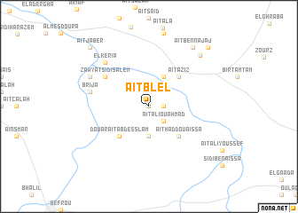
Aït Blel (Fès, Morocco)Aït Blel is a town in the Fès region of Morocco. An overview map of the region around Aït Blel is displayed below.
regional and 3d topo map of Aït Blel, Morocco ::
Aït Blel airports ::
The nearest airport is FEZ - Fez Saiss, located 22.8 km west of Aït Blel.
Other airports nearby include MEK - Meknes Bassatine (72.7 km west), AHU - Al Hociema Cherif El Idrissi (158.9 km north east), NNA - Kentira Kenitra (176.1 km west), TTU - Tetouan Saniat Rmel (190.2 km north), Nearby towns ::
Isbahine (0.0km north) //
Aït Bekki (1.5km east) //
Aït Imellol (1.5km east) //
Aït Ali Ou Ahmad (2.4km south east) //
Zitouna Aït Khalifa (3.7km south) //
Aït Moussa (4.0km north east) //
Aït Aziz (4.8km north east) //
Aït Haddou Aïssa (4.8km south east) //
Douar Aït Abd es Slam (4.8km south west) //
Zawyat Sidi Salem (5.9km north west) //
Brija (6.4km west) //
El Keria (7.2km north west) //
Oulad Jeghigh (7.2km north west) //
Aït Ben Zemour (8.4km north east) //
Aït Ben Najaj (8.7km north east) //
Aït Attou (8.7km north east) //
Hammou Yas (9.6km north east) //
Aït Jaber (9.6km north west) //
[all distances 'as the bird flies' and approximate] 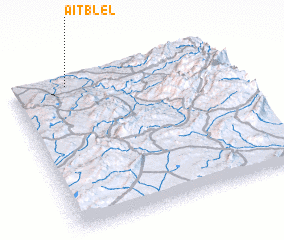 Places with similar names to Aït Blel, Morocco ::
// Aït Blal (MA)
// Aït Blal (MA)
// Aït Bou Allal (MA)
// Aït bou Oualal (MA)
// Aït Ou Ba Allal (MA)
Disclaimer :: Information on this page comes without warranty of any kind |
||
|
Where is Aït Blel? Elevation and coordinates ::
Latitude (lat): 33°57'0"N Longitude (lon): 4°44'0"W
Elevation (approx.): 614m (map arrows pan, magnifying glasses zoom) |
||
|
Visiting Aït Blel? Hotel/Accommodation ::
Book a hotel in Aït Blel Travel Guide ::
Buy a travel guide for Morocco rental cars ::
car rental offers GPS waypoint ::
download a GPX waypoint (PoI) of Aït Blel for your GPS receiver
|
||