|
search place name
|
||
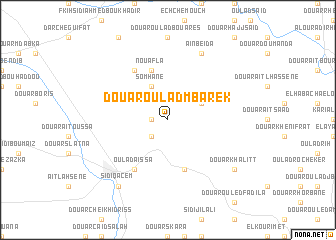
Douar Oulad Mbarek (Sidi Kacem, Morocco)Douar Oulad Mbarek is a town in the Sidi Kacem region of Morocco. An overview map of the region around Douar Oulad Mbarek is displayed below.
regional and 3d topo map of Douar Oulad Mbarek, Morocco ::
Douar Oulad Mbarek airports ::
The nearest airport is MEK - Meknes Bassatine, located 46.5 km south of Douar Oulad Mbarek.
Other airports nearby include FEZ - Fez Saiss (73.5 km south east), NNA - Kentira Kenitra (87.1 km west), RBA - Rabat Sale (104.8 km west), TTU - Tetouan Saniat Rmel (148.5 km north), Nearby towns ::
Fogra (1.5km west) //
Douar Gourinat el Haricha (2.4km south west) //
Douar Trabna (3.6km north east) //
Somhane (4.0km north) //
Nouafla (5.8km north) //
Douar Chbanet (5.8km south) //
Oulad Jellal (6.3km north west) //
Oulad Aïssa (6.3km south west) //
Aïn Beïda (8.0km north) //
Sidi Qacem (8.7km south west) //
Douar Khalitt (8.3km south east) //
Douar el Atatfa (8.3km south east) //
[all distances 'as the bird flies' and approximate] 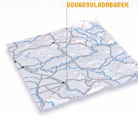 Places with similar names to Douar Oulad Mbarek, Morocco ::
// Douar Oulad Mbarek (MA)
Disclaimer :: Information on this page comes without warranty of any kind |
||
|
Where is Douar Oulad Mbarek? Elevation and coordinates ::
Latitude (lat): 34°17'0"N Longitude (lon): 5°39'0"W
Elevation (approx.): 213m (map arrows pan, magnifying glasses zoom) |
||
|
Visiting Douar Oulad Mbarek? Hotel/Accommodation ::
Book a hotel in Douar Oulad Mbarek Travel Guide ::
Buy a travel guide for Morocco rental cars ::
car rental offers GPS waypoint ::
download a GPX waypoint (PoI) of Douar Oulad Mbarek for your GPS receiver
|
||