|
search place name
|
||
Ksar el Kbir (Ouarzazate, Morocco)Ksar el Kbir is a town in the Ouarzazate region of Morocco. An overview map of the region around Ksar el Kbir is displayed below.
regional and 3d topo map of Ksar el Kbir, Morocco ::

Ksar el Kbir airports ::
The nearest airport is OZZ - Ouarzazate, located 176.6 km north west of Ksar el Kbir.
Nearby towns ::
Tinaf (0.0km north) //
Beni Khtal (1.9km north) //
Lansar (1.9km north) //
Zâouïet el Kediyâ (2.0km north) //
Zâouïet Sidi Sâlah (3.1km west) //
Oulad Ali (3.7km north west) //
Regba (3.7km north west) //
Gourreguir (4.9km north west) //
Lblida (7.5km north) //
Zâouïet Dekhlâniyâ (7.0km west) //
Beni Sbih (7.6km north west) //
Aït Ben Mohammed (8.5km north west) //
Aït Kherdi (9.8km north west) //
[all distances 'as the bird flies' and approximate] 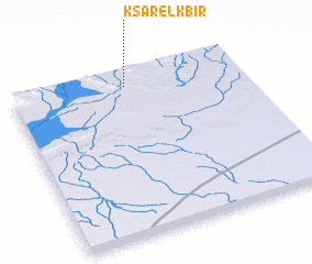 Places with similar names to Ksar el Kbir, Morocco ::
// Ksar el Kebir (MA)
// Ksar el Kbir (MA)
// Ksar el Kebir (MA)
// Ksar el Kebir (MA)
// Kasar Lakbir (MA)
Disclaimer :: Information on this page comes without warranty of any kind |
||
|
Where is Ksar el Kbir? Elevation and coordinates ::
Latitude (lat): 29°55'0"N Longitude (lon): 5°30'0"W
Elevation (approx.): 594m (map arrows pan, magnifying glasses zoom) |
||
|
Visiting Ksar el Kbir? Hotel/Accommodation ::
Book a hotel in Ksar el Kbir Travel Guide ::
Buy a travel guide for Morocco rental cars ::
car rental offers GPS waypoint ::
download a GPX waypoint (PoI) of Ksar el Kbir for your GPS receiver
|
||