|
search place name
|
||
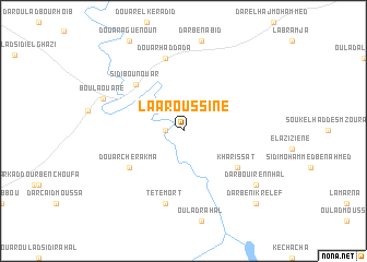
Laaroussine (Settat, Morocco)Laaroussine is a town in the Settat region of Morocco. An overview map of the region around Laaroussine is displayed below.
regional and 3d topo map of Laaroussine, Morocco ::
Laaroussine airports ::
The nearest airport is CMN - Casablanca Mohammed V Intl, located 69.7 km north east of Laaroussine.
Other airports nearby include RAK - Marrakech Menara (136.1 km south), RBA - Rabat Sale (177.1 km north east), NNA - Kentira Kenitra (207.4 km north east), OZZ - Ouarzazate (233.3 km south east), Nearby towns ::
Douar el Hamar (1.6km west) //
Kharissat (6.0km south east) //
Douar Cherakma (6.0km south west) //
Sidi Bou Nouar (6.3km north west) //
Tête Mort (7.6km south) //
Douar Haddada (7.6km north) //
Boulaouane (7.7km north west) //
Dar Bouir en Nhal (8.4km south east) //
Dar Beni Krelef (9.7km south east) //
[all distances 'as the bird flies' and approximate] 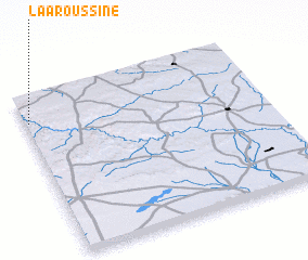 Places with similar names to Laaroussine, Morocco ::
// Larson (US)
// Larsen (US)
// Larson (US)
// Leerßen (DE)
// Larzano (IT)
// Lu Razzoni (IT)
// Lorcin (PL)
// La Risueña (CU)
// Leorzeni (RO)
// La Ercina (ES)
Disclaimer :: Information on this page comes without warranty of any kind |
||
|
Where is Laaroussine? Elevation and coordinates ::
Latitude (lat): 32°50'0"N Longitude (lon): 7°59'0"W
Elevation (approx.): 222m (map arrows pan, magnifying glasses zoom) |
||
|
Visiting Laaroussine? Hotel/Accommodation ::
Book a hotel in Laaroussine Travel Guide ::
Buy a travel guide for Morocco rental cars ::
car rental offers GPS waypoint ::
download a GPX waypoint (PoI) of Laaroussine for your GPS receiver
|
||