|
search place name
|
||
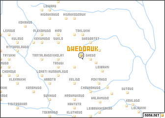
Dwedo Auk (Kayin, Myanmar)Dwedo Auk is a town in the Kayin region of Myanmar. An overview map of the region around Dwedo Auk is displayed below.
regional and 3d topo map of Dwedo Auk, Myanmar ::
Dwedo Auk airports ::
The nearest airport is RGN - Yangon Intl, located 218.2 km south west of Dwedo Auk.
Nearby towns ::
Dwedo (1.8km east) //
Dwedo Ale (1.9km north) //
Kyaledo (2.6km south west) //
Ploeywemudö (3.1km east) //
Dwedo Atet (4.1km north east) //
Tnwedo (4.1km north east) //
Leibawmi (5.1km south east) //
Taklawkhi Auk (5.6km north) //
Taklukhi (5.6km north) //
Kholay (5.3km west) //
Tasudi (5.6km west) //
Kelido (5.8km south) //
Pawkhi (5.8km north) //
Pokyawdo (6.6km south east) //
Munawpledo (6.4km south west) //
Suklo (6.4km north west) //
Chaumohudo (7.6km south) //
Hipo (7.7km north west) //
Chawmahudo (8.4km south east) //
Wabota (9.0km south west) //
Shwe Kyahdo (10.0km south east) //
[all distances 'as the bird flies' and approximate] 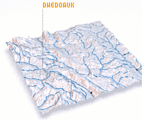
Disclaimer :: Information on this page comes without warranty of any kind |
||
|
Where is Dwedo Auk? Elevation and coordinates ::
Latitude (lat): 18°35'0"N Longitude (lon): 97°13'0"E
Elevation (approx.): 1015m (map arrows pan, magnifying glasses zoom) |
||
|
Visiting Dwedo Auk? Hotel/Accommodation ::
Book a hotel in Dwedo Auk Travel Guide ::
Buy a travel guide for Myanmar rental cars ::
car rental offers GPS waypoint ::
download a GPX waypoint (PoI) of Dwedo Auk for your GPS receiver
|
||