|
search place name
|
||
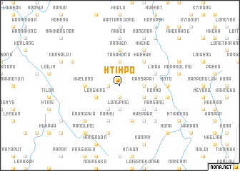
Hti-hpo (Shan, Myanmar)Hti-hpo is a town in the Shan region of Myanmar. An overview map of the region around Hti-hpo is displayed below.
regional and 3d topo map of Hti-hpo, Myanmar ::
Hti-hpo airports ::
The nearest airport is HEH - Heho, located 59.0 km west of Hti-hpo.
Other airports nearby include MDL - Mandalay Intl (161.9 km north west), MOG - Mong Hsat (207.7 km east), Nearby towns ::
Nammawsing (1.9km south) //
Htamlaya (1.7km west) //
Namsa-pai (3.5km east) //
Longping (3.7km south) //
Nampa-chi (3.7km south) //
Ta-da-ho-na (3.7km north) //
Na-nging (3.7km north) //
Wān Nammaw (3.9km south east) //
Kyauktan (4.1km south west) //
Longwing (3.9km south west) //
Kongmawng (5.1km south east) //
Hwe-hwe (5.1km north east) //
Nawngwek (5.2km east) //
Hwè-long (5.2km west) //
Naw-nya (5.2km east) //
Nan Wen (5.6km north) //
Tib-yu (5.8km south) //
Konmo (5.5km east) //
Li-maw (5.5km east) //
Namhu (5.8km south) //
Namsang (6.4km south east) //
Hwepawn (6.5km south east) //
Hwe-he (6.5km north east) //
Nā-ning (6.9km east) //
Namme-kwi (6.9km east) //
Ho-to (6.9km east) //
Nā Wen (7.4km north) //
Man-kup (7.2km east) //
Nawngkyun (7.6km south) //
[all distances 'as the bird flies' and approximate] 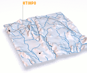 Places with similar names to Hti-hpo, Myanmar ::
Disclaimer :: Information on this page comes without warranty of any kind |
||
|
Where is Hti-hpo? Elevation and coordinates ::
Latitude (lat): 20°57'0"N Longitude (lon): 97°19'0"E
Elevation (approx.): 1464m (map arrows pan, magnifying glasses zoom) |
||
|
Visiting Hti-hpo? Hotel/Accommodation ::
Book a hotel in Hti-hpo Travel Guide ::
Buy a travel guide for Myanmar rental cars ::
car rental offers GPS waypoint ::
download a GPX waypoint (PoI) of Hti-hpo for your GPS receiver
|
||