|
search place name
|
||
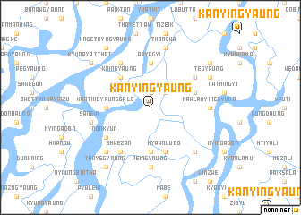
Kanyingyaung (Ayeyarwady, Myanmar)Kanyingyaung is a town in the Ayeyarwady region of Myanmar. An overview map of the region around Kanyingyaung is displayed below.
regional and 3d topo map of Kanyingyaung, Myanmar ::
Kanyingyaung airports ::
The nearest airport is RGN - Yangon Intl, located 115.2 km north east of Kanyingyaung.
Nearby towns ::
Wanetchaung (1.9km north) //
Kywēdalin (2.6km north east) //
Kwingyaung (5.1km north west) //
Kunthigyaunggale (5.3km west) //
Aunghlaing (5.3km west) //
Kangôn (5.6km south) //
Payagyi (5.6km north) //
Mezali (5.6km east) //
Kyawnu-udo (5.8km south) //
Nonkyun (6.5km south west) //
Mayangyaung (6.6km north west) //
Shwezān (6.6km south west) //
Sābyuzu (6.5km north east) //
Peingyaung (7.4km south) //
Mawlamyinegyunn (7.1km east) //
Saneik (7.4km west) //
Thôngwa (7.6km north) //
Mēzali (7.7km south east) //
Sābyuzu (7.7km south west) //
Tēgyaung (8.0km north east) //
Thayēgyaung (9.1km south west) //
Hngetkyagyaung (9.1km north west) //
Kyunpyatthat (9.0km north west) //
Kyonmange (9.0km north west) //
Sawkegyaung (9.0km north east) //
[all distances 'as the bird flies' and approximate] 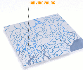 Places with similar names to Kanyingyaung, Myanmar ::
Disclaimer :: Information on this page comes without warranty of any kind |
||
|
Where is Kanyingyaung? Elevation and coordinates ::
Latitude (lat): 16°23'0"N Longitude (lon): 95°12'0"E
Elevation (approx.): 4m (map arrows pan, magnifying glasses zoom) |
||
|
Visiting Kanyingyaung? Hotel/Accommodation ::
Book a hotel in Kanyingyaung Travel Guide ::
Buy a travel guide for Myanmar rental cars ::
car rental offers GPS waypoint ::
download a GPX waypoint (PoI) of Kanyingyaung for your GPS receiver
|
||