|
search place name
|
||
Kumnyen Ga (Kachin State, Myanmar)Kumnyen Ga is a town in the Kachin State region of Myanmar. An overview map of the region around Kumnyen Ga is displayed below.
regional and 3d topo map of Kumnyen Ga, Myanmar ::

Kumnyen Ga airports ::
The nearest airport is MYT - Myitkyina, located 117.5 km south east of Kumnyen Ga.
Other airports nearby include PBU - Putao (144.0 km north east), MOH - Mohanbari Dibrugarh (213.4 km north west), Nearby towns ::
Inga Gahtawng (0.0km north) //
Tumungjun Ga (1.7km west) //
Pān Gahtawng (2.5km north east) //
Ra Gahtawng (2.5km north east) //
Uga Ga (2.5km north east) //
Tabung (2.5km north west) //
Jat Gahtawng (4.1km north east) //
'Nlam Ga (5.0km north east) //
Walawbum (5.0km east) //
Lagang Ga (5.0km east) //
Ginswe Ga (5.3km west) //
Wesu Ga (5.3km east) //
Kasan Ga (5.3km east) //
Ngamaw Ga (5.3km west) //
Ninghku Ga (6.5km north east) //
Chanmoi (6.2km south east) //
Lalawng Ga (6.9km west) //
Payawm (6.9km west) //
Shimak Ga (7.5km north east) //
Shingban (8.7km north west) //
Pashung Aung Ga (10.0km north east) //
[all distances 'as the bird flies' and approximate] 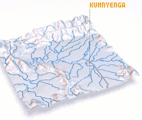 Places with similar names to Kumnyen Ga, Myanmar ::
// Komin-Yanga (BF)
// Kamunyenga (ZM)
Disclaimer :: Information on this page comes without warranty of any kind |
||
|
Where is Kumnyen Ga? Elevation and coordinates ::
Latitude (lat): 26°14'0"N Longitude (lon): 96°39'0"E
Elevation (approx.): 222m (map arrows pan, magnifying glasses zoom) |
||
|
Visiting Kumnyen Ga? Hotel/Accommodation ::
Book a hotel in Kumnyen Ga Travel Guide ::
Buy a travel guide for Myanmar rental cars ::
car rental offers GPS waypoint ::
download a GPX waypoint (PoI) of Kumnyen Ga for your GPS receiver
|
||