|
search place name
|
||
Mān Namhtawn (Shan, Myanmar)Mān Namhtawn is a town in the Shan region of Myanmar. An overview map of the region around Mān Namhtawn is displayed below.
regional and 3d topo map of Mān Namhtawn, Myanmar ::

Mān Namhtawn airports ::
The nearest airport is LSH - Lashio, located 132.9 km north west of Mān Namhtawn.
Other airports nearby include KET - Kengtung (136.3 km south east), MOG - Mong Hsat (186.9 km south), THL - Tachilek Tachileik (224.2 km south east), HEH - Heho (242.6 km south west), Nearby towns ::
Mān Kawnglēng (3.7km north) //
Mān Na-hpü (3.7km south) //
Mān Kyawng (3.9km south west) //
Mān Naü-kiu (5.1km south east) //
Mān Panghpü (5.8km south) //
Mān Wan-āwk (5.5km west) //
Mān Namkin (5.5km west) //
Mān Na-noi (6.3km north west) //
Mān Namtai (6.3km south west) //
Mān Ngengle (6.5km north east) //
Mān Nawngloi (7.1km west) //
Mān Mawkngio-hsiao (7.8km north east) //
Mān Kawn-yè (9.0km north east) //
Mān Hsan (9.0km south west) //
Mān Pangpek (10.1km north west) //
Mān Tawngkaw (10.1km south east) //
[all distances 'as the bird flies' and approximate] 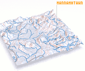 Places with similar names to Mān Namhtawn, Myanmar ::
// Manambatana (MG)
// Manambatana (MG)
// Manumetan (ID)
// Māna Ahmadāni (PK)
// Miān Maidān (PK)
// Miān Motan (PK)
// Minamidani (JP)
Disclaimer :: Information on this page comes without warranty of any kind |
||
|
Where is Mān Namhtawn? Elevation and coordinates ::
Latitude (lat): 22°6'0"N Longitude (lon): 98°38'0"E
Elevation (approx.): 1267m (map arrows pan, magnifying glasses zoom) |
||
|
Visiting Mān Namhtawn? Hotel/Accommodation ::
Book a hotel in Mān Namhtawn Travel Guide ::
Buy a travel guide for Myanmar rental cars ::
car rental offers GPS waypoint ::
download a GPX waypoint (PoI) of Mān Namhtawn for your GPS receiver
|
||