|
search place name
|
||
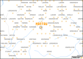
Mān Taü (Shan, Myanmar)Mān Taü is a town in the Shan region of Myanmar. An overview map of the region around Mān Taü is displayed below.
regional and 3d topo map of Mān Taü, Myanmar ::
Mān Taü airports ::
The nearest airport is LSH - Lashio, located 112.8 km south of Mān Taü.
Other airports nearby include MYT - Myitkyina (179.1 km north west), Nearby towns ::
Yi-ku (0.0km north) //
Mān Kang (1.9km south) //
Mān Nü (1.9km south) //
Hawwa (2.5km south west) //
Mān Namhkawnghko (2.5km south east) //
Mān Ping (2.5km north west) //
Mān Maü (2.5km north west) //
Kunsang (3.4km west) //
Mān Sē (3.7km north) //
Mān Maü (3.7km north) //
Singhsi-taung (3.9km south east) //
Namhkek (3.9km north east) //
Hsin-yin (5.0km south east) //
Ho-kan (5.0km north west) //
Pawnglong (5.1km east) //
Loi-lem (5.6km north) //
Hsan-ya (5.4km east) //
Sa-se-ka-daung (5.4km east) //
Hsinsai-he (5.8km south) //
Mān Pong (5.8km north) //
Namlu (5.8km south) //
Hpa-wen (6.5km north west) //
Hpa-tawk (6.5km south west) //
Kawnghkam (6.3km north east) //
Hso-po-zai (6.3km north west) //
Hkakmaw (6.3km north east) //
Ta-kuti (7.4km south) //
Nan-awn (6.8km west) //
Pinghoi (6.8km west) //
[all distances 'as the bird flies' and approximate] 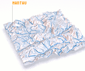 Places with similar names to Mān Taü, Myanmar ::
Disclaimer :: Information on this page comes without warranty of any kind |
||
|
Where is Mān Taü? Elevation and coordinates ::
Latitude (lat): 23°56'0"N Longitude (lon): 98°8'0"E
Elevation (approx.): 1282m (map arrows pan, magnifying glasses zoom) |
||
|
Visiting Mān Taü? Hotel/Accommodation ::
Book a hotel in Mān Taü Travel Guide ::
Buy a travel guide for Myanmar rental cars ::
car rental offers GPS waypoint ::
download a GPX waypoint (PoI) of Mān Taü for your GPS receiver
|
||