|
search place name
|
||
Möng Li (Shan, Myanmar)Möng Li is a town in the Shan region of Myanmar. An overview map of the region around Möng Li is displayed below.
regional and 3d topo map of Möng Li, Myanmar ::

Möng Li airports ::
The nearest airport is LSH - Lashio, located 101.3 km south of Möng Li.
Other airports nearby include MYT - Myitkyina (184.0 km north), Nearby towns ::
Mān Sak (0.0km north) //
Mān Hkum (0.0km north) //
Mān Hka (1.9km south) //
Kawngwai (1.7km east) //
U-mya (2.5km south east) //
Winglom (2.5km south west) //
Namhawng (3.7km north) //
Sukmawn (3.9km north west) //
Mān Pangwo (3.9km north east) //
Hpak Mān (5.0km south west) //
Naleng (5.0km north east) //
Hona (5.6km south) //
Winghpai (5.8km north) //
Kyu-püt (5.4km west) //
Mān Sang (5.8km south) //
Mān Sak (5.8km south) //
Hoting (6.5km north west) //
Hpa-tawk (6.3km north east) //
Mān Nam-yu (6.3km north west) //
Nawngchio (7.4km south) //
Tao-long (7.0km west) //
Hsio-pawng (7.0km east) //
Na-long (7.6km south) //
Ho-mwè (7.5km south east) //
Mu-tawng (8.8km north west) //
Kyumana (8.8km south west) //
Hawwa (10.0km north east) //
Mān Pong (10.0km south east) //
[all distances 'as the bird flies' and approximate] 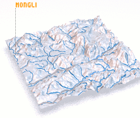 Places with similar names to Möng Li, Myanmar ::
// Managale (MM)
// Mangla (MM)
// Mān Ka-lao (MM)
// Mān Kalu (MM)
// Mān Nawkla (MM)
// Maungla (MM)
// Maunglaw (MM)
// Mingala (MM)
// Mingala (MM)
// Möng La (MM)
Disclaimer :: Information on this page comes without warranty of any kind |
||
|
Where is Möng Li? Elevation and coordinates ::
Latitude (lat): 23°51'0"N Longitude (lon): 98°3'0"E
Elevation (approx.): 1155m (map arrows pan, magnifying glasses zoom) |
||
|
Visiting Möng Li? Hotel/Accommodation ::
Book a hotel in Möng Li Travel Guide ::
Buy a travel guide for Myanmar rental cars ::
car rental offers GPS waypoint ::
download a GPX waypoint (PoI) of Möng Li for your GPS receiver
|
||