|
search place name
|
||
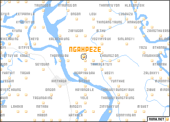
Ngahpeze (Myanmar)Ngahpeze is a town in Myanmar. An overview map of the region around Ngahpeze is displayed below.
regional and 3d topo map of Ngahpeze, Myanmar ::
Ngahpeze airports ::
The nearest airport is RGN - Yangon Intl, located 108.0 km south east of Ngahpeze.
Other airports nearby include SNW - Thandwe (154.9 km north west), KYP - Kyaukpyu (284.6 km north west), Nearby towns ::
Kyaunggon (0.0km north) //
Lèbyinzu (1.8km east) //
Seindon Ashe (1.9km south) //
Leingon (1.9km north) //
Zayitchaung (3.5km east) //
Ngapyawdaw (3.7km south) //
Seindon Anauk (3.5km west) //
Tawkalatgyi (4.0km south east) //
Yegyi Taung (4.0km north east) //
Yegyi Myauk (5.1km north east) //
Chaungzon (5.3km east) //
Tharrawaw (5.3km west) //
Tawgwè (5.3km east) //
Pauktawzu (5.6km north) //
Sitkon (5.6km south) //
Zibyugon (5.8km north) //
Inthu (6.6km north east) //
Wègyi (6.5km south east) //
Kalachaung (6.5km north west) //
Mayangale (7.4km south) //
Bawdibin (7.1km east) //
Thayagon (7.6km north) //
Hinthada (7.7km south west) //
Ywagale (7.7km north west) //
Yünthwe (9.0km south east) //
Thingangyaung (9.1km north east) //
Thadugyaung Myauk (10.2km south east) //
Ongon (10.2km south west) //
[all distances 'as the bird flies' and approximate] 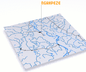 Places with similar names to Ngahpeze, Myanmar ::
// Nagapsé (BF)
Disclaimer :: Information on this page comes without warranty of any kind |
||
|
Where is Ngahpeze? Elevation and coordinates ::
Latitude (lat): 17°41'0"N Longitude (lon): 95°31'0"E
Elevation (approx.): 13m (map arrows pan, magnifying glasses zoom) |
||
|
Visiting Ngahpeze? Hotel/Accommodation ::
Book a hotel in Ngahpeze Travel Guide ::
Buy a travel guide for Myanmar rental cars ::
car rental offers GPS waypoint ::
download a GPX waypoint (PoI) of Ngahpeze for your GPS receiver
|
||