|
search place name
|
||
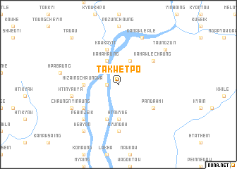
Takwetpo (Kayin, Myanmar)Takwetpo is a town in the Kayin region of Myanmar. An overview map of the region around Takwetpo is displayed below.
regional and 3d topo map of Takwetpo, Myanmar ::
Takwetpo airports ::
The nearest airport is RGN - Yangon Intl, located 171.1 km west of Takwetpo.
Other airports nearby include LPT - Lampang (220.1 km north east), Nearby towns ::
Myatle (1.8km west) //
Kamamaung (4.1km north west) //
Wagoktaw (4.1km north east) //
Mizaingchaungwa (5.3km west) //
Htawywe (5.6km south) //
Kawkayit (5.8km north) //
Shwegyaw (5.8km south) //
Kamawlechaung (6.5km north east) //
Pandawmi (6.5km south east) //
Ahlan (6.5km south west) //
Kyundaw (7.4km south) //
Htinyakya (7.3km west) //
Pebinzeik (7.7km south west) //
Kamawle Ale (8.2km north east) //
Chaungnyinaung (8.0km south west) //
Webyan (9.1km south west) //
Taungzun (9.0km north east) //
Tada-u (10.2km north west) //
[all distances 'as the bird flies' and approximate] 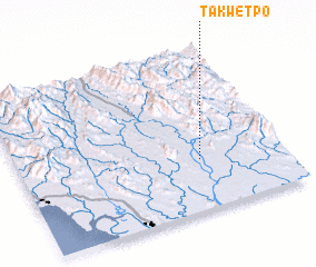 Places with similar names to Takwetpo, Myanmar :: Disclaimer :: Information on this page comes without warranty of any kind |
||
|
Where is Takwetpo? Elevation and coordinates ::
Latitude (lat): 17°19'0"N Longitude (lon): 97°41'0"E
Elevation (approx.): 21m (map arrows pan, magnifying glasses zoom) |
||
|
Visiting Takwetpo? Hotel/Accommodation ::
Book a hotel in Takwetpo Travel Guide ::
Buy a travel guide for Myanmar rental cars ::
car rental offers GPS waypoint ::
download a GPX waypoint (PoI) of Takwetpo for your GPS receiver
|
||