|
search place name
|
||
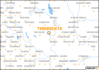
Thamaseikta (Myanmar)Thamaseikta is a town in Myanmar. An overview map of the region around Thamaseikta is displayed below.
regional and 3d topo map of Thamaseikta, Myanmar ::
Thamaseikta airports ::
The nearest airport is RGN - Yangon Intl, located 196.9 km south of Thamaseikta.
Nearby towns ::
Yaukthawa (1.9km south) //
Migyaunggyaung (1.9km south) //
Momaka (1.8km east) //
Mèbalan (2.6km south east) //
Naukchigon (2.6km south east) //
Hlelangu (2.6km north east) //
Talaing-aing (2.6km north east) //
Thetkegon (3.5km west) //
Tawbu (3.5km east) //
Aunggyi (4.1km south east) //
Nyaungbintha (4.1km south east) //
Gyobintha (4.1km north west) //
Thayettan (4.1km north east) //
Gwa-aing (4.1km north east) //
Sinzeikkyi (5.3km east) //
Gonmindaw (5.6km east) //
Kyauktaung (5.6km east) //
Bonmati (5.8km north) //
Bayanathe (7.0km east) //
Tènandaw (7.0km east) //
Sanpanbauk (7.0km east) //
Kyaukkyibauk (7.0km east) //
Ngazilaung (7.3km west) //
Bwa-ezu (8.2km south west) //
Thategon (7.9km north west) //
Thayetkon (7.9km south east) //
Bwedaing (8.2km north west) //
Zalokkyi (9.0km south west) //
Kinmungyon (9.1km south west) //
[all distances 'as the bird flies' and approximate] 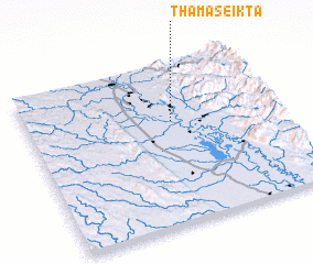 Places with similar names to Thamaseikta, Myanmar ::
// Thamazeikta (MM)
Disclaimer :: Information on this page comes without warranty of any kind |
||
|
Where is Thamaseikta? Elevation and coordinates ::
Latitude (lat): 18°38'0"N Longitude (lon): 96°35'0"E
Elevation (approx.): 32m (map arrows pan, magnifying glasses zoom) |
||
|
Visiting Thamaseikta? Hotel/Accommodation ::
Book a hotel in Thamaseikta Travel Guide ::
Buy a travel guide for Myanmar rental cars ::
car rental offers GPS waypoint ::
download a GPX waypoint (PoI) of Thamaseikta for your GPS receiver
|
||