|
search place name
|
||
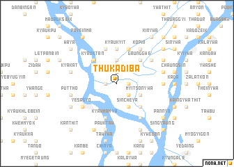
Thukadiba (Sagaing, Myanmar)Thukadiba is a town in the Sagaing region of Myanmar. An overview map of the region around Thukadiba is displayed below.
regional and 3d topo map of Thukadiba, Myanmar ::
Thukadiba airports ::
The nearest airport is MDL - Mandalay Intl, located 72.0 km east of Thukadiba.
Other airports nearby include HEH - Heho (186.8 km south east), Nearby towns ::
Sulegon (1.7km west) //
Ngabe (1.9km north) //
Myittha (1.7km east) //
Shwehlan (2.5km south east) //
Ywabet (2.5km south east) //
Thanetkon (3.7km north) //
Sincheya (4.1km south east) //
Myitsonywa (3.9km south east) //
Kyauktan (5.1km north west) //
Gaunggwe (5.1km north east) //
Ngayan-o (5.1km south east) //
Minhla (5.1km south east) //
Kyaukyit (5.6km north) //
Kyawmakya (5.8km south) //
Onhnèbok (5.8km north) //
Thayettha (5.8km north) //
Shwega (6.4km north east) //
Yesagyo (6.4km south west) //
Bugaing (6.5km north east) //
Seywa (6.5km north east) //
Kopin (6.5km north east) //
Milaunggyun (6.5km south east) //
Ywabale (6.9km east) //
Thazi (7.1km west) //
Kyakat (7.1km west) //
Puttho (7.1km west) //
Pauktaw (7.6km south) //
Ywathitgale (7.1km east) //
Ponyin (7.8km south west) //
[all distances 'as the bird flies' and approximate] 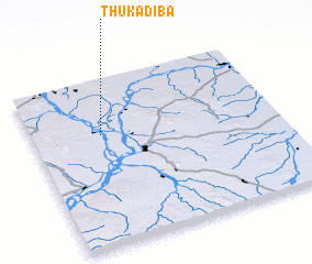 Places with similar names to Thukadiba, Myanmar :: Disclaimer :: Information on this page comes without warranty of any kind |
||
|
Where is Thukadiba? Elevation and coordinates ::
Latitude (lat): 21°40'0"N Longitude (lon): 95°17'0"E
Elevation (approx.): 64m (map arrows pan, magnifying glasses zoom) |
||
|
Visiting Thukadiba? Hotel/Accommodation ::
Book a hotel in Thukadiba Travel Guide ::
Buy a travel guide for Myanmar rental cars ::
car rental offers GPS waypoint ::
download a GPX waypoint (PoI) of Thukadiba for your GPS receiver
|
||