|
search place name
|
||
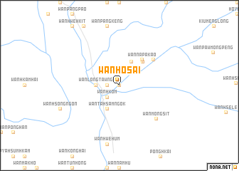
Wān Ho-sai (Shan, Myanmar)Wān Ho-sai is a town in the Shan region of Myanmar. An overview map of the region around Wān Ho-sai is displayed below.
regional and 3d topo map of Wān Ho-sai, Myanmar ::
Wān Ho-sai airports ::
The nearest airport is MOG - Mong Hsat, located 47.8 km north east of Wān Ho-sai.
Other airports nearby include THL - Tachilek Tachileik (106.5 km east), KET - Kengtung (142.1 km north east), LPT - Lampang (219.1 km south), Nearby towns ::
Wān Mèsai (0.0km north) //
Wān Namhū-omhkom (0.0km north) //
Wān Mè-kin (1.7km west) //
Wān Hsupsai (1.7km west) //
Wān Hkom (2.5km south west) //
Wān Longtawng (3.5km west) //
Wān Tā-hsamngok (4.1km south west) //
Wān Tinloi (4.1km north east) //
Wān Pā-hsak (4.1km north east) //
Wān Mè-hong (5.1km north east) //
Wān Nā-pā-kao (5.2km north east) //
Wān Yang (6.5km north east) //
Wān Mōng Sit (7.6km south east) //
[all distances 'as the bird flies' and approximate] 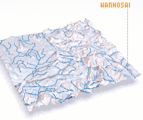
Disclaimer :: Information on this page comes without warranty of any kind |
||
|
Where is Wān Ho-sai? Elevation and coordinates ::
Latitude (lat): 20°11'0"N Longitude (lon): 98°58'0"E
Elevation (approx.): 558m (map arrows pan, magnifying glasses zoom) |
||
|
Visiting Wān Ho-sai? Hotel/Accommodation ::
Book a hotel in Wān Ho-sai Travel Guide ::
Buy a travel guide for Myanmar rental cars ::
car rental offers GPS waypoint ::
download a GPX waypoint (PoI) of Wān Ho-sai for your GPS receiver
|
||