|
search place name
|
||
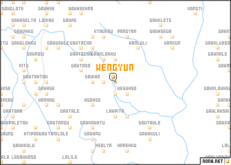
Weng Yün (Kayah, Myanmar)Weng Yün is a town in the Kayah region of Myanmar. An overview map of the region around Weng Yün is displayed below.
regional and 3d topo map of Weng Yün, Myanmar ::
Weng Yün airports ::
The nearest airport is HEH - Heho, located 138.3 km north west of Weng Yün.
Other airports nearby include MOG - Mong Hsat (226.9 km north east), Nearby towns ::
Mai-kang (0.0km north) //
Dawklo-hku (1.9km south) //
Ma-htö-hku (1.7km west) //
Wè-sü-hso (2.5km south east) //
Nam-kun (3.7km north) //
Dawi-ho (3.5km west) //
Dawklo-hku (4.1km north west) //
Hso-hsè (5.1km south west) //
Law-pi-ta (5.6km south) //
Wān Kang-na (5.8km south) //
Dawklaw-tu (5.8km south) //
Dawta-so (5.6km west) //
Wān Lu-li (6.6km north east) //
Dawta-cha (6.4km north west) //
Ta Ta-plu (6.4km north west) //
Dawta-cha (6.6km north west) //
Pang-yam (7.6km north) //
Kyauk-su (7.6km north) //
Dawta-cha (7.6km north west) //
Pa-chem (8.2km north west) //
Dawkaw-htu (8.2km south west) //
Dawta-lè (8.9km south west) //
Dawtaw-lè (9.1km south east) //
Dawhsè-da (10.2km north east) //
Dawhsaw-do (10.2km south west) //
[all distances 'as the bird flies' and approximate] 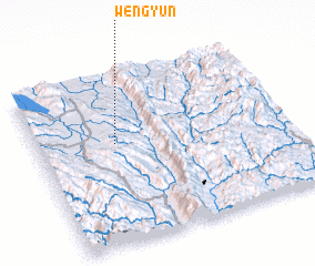 Places with similar names to Weng Yün, Myanmar ::
Disclaimer :: Information on this page comes without warranty of any kind |
||
|
Where is Weng Yün? Elevation and coordinates ::
Latitude (lat): 19°36'0"N Longitude (lon): 97°19'0"E
Elevation (approx.): 811m (map arrows pan, magnifying glasses zoom) |
||
|
Visiting Weng Yün? Hotel/Accommodation ::
Book a hotel in Weng Yün Travel Guide ::
Buy a travel guide for Myanmar rental cars ::
car rental offers GPS waypoint ::
download a GPX waypoint (PoI) of Weng Yün for your GPS receiver
|
||