|
search place name
|
||
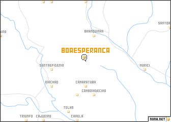
Boa Esperança (Alagoas, Brazil)Boa Esperança is a town in the Alagoas region of Brazil. An overview map of the region around Boa Esperança is displayed below.
regional and 3d topo map of Boa Esperança, Brazil ::
Boa Esperança airports ::
The nearest airport is MCZ - Maceio Zumbi Dos Palmares, located 36.7 km south east of Boa Esperança.
Other airports nearby include REC - Recife Guararapes Gilberto Freyre Intl (179.5 km north east), AJU - Aracaju Santa Maria (217.2 km south west), Nearby towns ::
Camaratuba (5.6km south) //
Branquinha (5.9km north) //
Camboim de Cima (7.6km south) //
Boa Vista (7.6km south) //
Santa Efigênia (7.5km west) //
Riachão (9.2km south west) //
[all distances 'as the bird flies' and approximate] 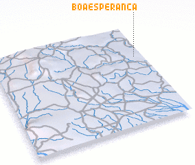 Places with similar names to Boa Esperança, Brazil ::
// Bee Spring (US)
// Bay Spring (US)
// Baugh Spring (US)
// Boa Esperança (BR)
// Boa Esperança (BR)
// Boa Esperança (BR)
// Boa Esperança (BR)
// Boa Esperança (BR)
// Boa Esperança (BR)
// Boa Esperança (BR)
Disclaimer :: Information on this page comes without warranty of any kind |
||
|
Where is Boa Esperança? Elevation and coordinates ::
Latitude (lat): 9°18'0"S Longitude (lon): 36°3'0"W
Elevation (approx.): 189m (map arrows pan, magnifying glasses zoom) |
||
|
Visiting Boa Esperança? Hotel/Accommodation ::
Book a hotel in Boa Esperança Travel Guide ::
Buy a travel guide for Brazil rental cars ::
car rental offers GPS waypoint ::
download a GPX waypoint (PoI) of Boa Esperança for your GPS receiver
|
||