|
search place name
|
||
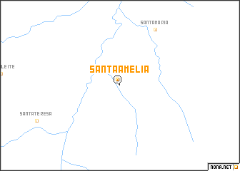
Santa Amélia (Maranhão, Brazil)Santa Amélia is a town in the Maranhão region of Brazil. An overview map of the region around Santa Amélia is displayed below.
regional and 3d topo map of Santa Amélia, Brazil ::
Santa Amélia airports ::
The nearest airport is CLN - Carolina, located 202.0 km north west of Santa Amélia.
Other airports nearby include PNB - Porto Nacional (267.6 km south west), Nearby towns ::
Santa Maria (10.4km north east) //
[all distances 'as the bird flies' and approximate] 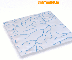 Places with similar names to Santa Amélia, Brazil ::
// Santa Amélia (BR)
// Santa Emília (BR)
// Santo Emílio (BR)
// Sand Mill (US)
// Sandmühle (DE)
// Sandomil (PT)
// Santo Emilião (PT)
// Santa Amalia (CU)
// Santa Amalia (CU)
// Santa Amalia (CU)
Disclaimer :: Information on this page comes without warranty of any kind |
||
|
Where is Santa Amélia? Elevation and coordinates ::
Latitude (lat): 8°59'0"S Longitude (lon): 46°42'0"W
Elevation (approx.): 438m (map arrows pan, magnifying glasses zoom) |
||
|
Visiting Santa Amélia? Hotel/Accommodation ::
Book a hotel in Santa Amélia Travel Guide ::
Buy a travel guide for Brazil rental cars ::
car rental offers GPS waypoint ::
download a GPX waypoint (PoI) of Santa Amélia for your GPS receiver
|
||