|
search place name
|
||
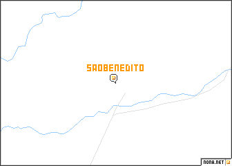
São Benedito (Mato Grosso do Sul, Brazil)São Benedito is a town in the Mato Grosso do Sul region of Brazil. An overview map of the region around São Benedito is displayed below.
regional and 3d topo map of São Benedito, Brazil ::
São Benedito airports ::
The nearest airport is CMG - Corumba Intl, located 176.1 km west of São Benedito.
Other airports nearby include PSZ - Puerto Suarez Tte De Av Salvador Ogaya G (191.1 km west), CGR - Campo Grande (232.4 km south east), Nearby towns ::
[all distances 'as the bird flies' and approximate] 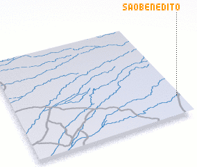 Places with similar names to São Benedito, Brazil ::
// São Benedito (BR)
// São Benedito (BR)
// São Benedito (BR)
// São Benedito (BR)
// São Benedito (BR)
// São Benedito (BR)
// São Benedito (BR)
// São Benedito (BR)
// São Benedito (BR)
// São Benedito (BR)
Disclaimer :: Information on this page comes without warranty of any kind |
||
|
Where is São Benedito? Elevation and coordinates ::
Latitude (lat): 18°48'0"S Longitude (lon): 56°1'0"W
Elevation (approx.): 131m (map arrows pan, magnifying glasses zoom) |
||
|
Visiting São Benedito? Hotel/Accommodation ::
Book a hotel in São Benedito Travel Guide ::
Buy a travel guide for Brazil rental cars ::
car rental offers GPS waypoint ::
download a GPX waypoint (PoI) of São Benedito for your GPS receiver
|
||