|
search place name
|
||
Granja Açores (Cuanza Norte, Angola)Granja Açores is a town in the Cuanza Norte region of Angola. An overview map of the region around Granja Açores is displayed below.
regional and 3d topo map of Granja Açores, Angola ::

Granja Açores airports ::
The nearest airport is GXG - Negage, located 146.4 km north east of Granja Açores.
Other airports nearby include UGO - Uige (151.9 km north), LAD - Luanda 4 De Fevereiro (159.9 km west), MEG - Malanje (190.6 km east), PBN - Porto Amboim (222.0 km south west), Nearby towns ::
Cavunga Capacaça (3.7km west) //
Gombe-Anambua (3.7km west) //
Ganga (3.7km north) //
Banza de Quilombo (5.5km east) //
Quilombo dos Dembos (5.8km east) //
Banza Soba Iango (6.7km south east) //
Zambealuquem (7.3km west) //
[all distances 'as the bird flies' and approximate] 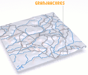 Places with similar names to Granja Açores, Angola ::
// Gornji Graci (BA)
// Gornji Križ (SI)
// Grange Cross (IE)
// Gornji Križ (HR)
// Gornje Gorice (CS)
Disclaimer :: Information on this page comes without warranty of any kind |
||
|
Where is Granja Açores? Elevation and coordinates ::
Latitude (lat): 8°56'0"S Longitude (lon): 14°41'0"E
Elevation (approx.): 570m (map arrows pan, magnifying glasses zoom) |
||
|
Visiting Granja Açores? Hotel/Accommodation ::
Book a hotel in Granja Açores Travel Guide ::
Buy a travel guide for Angola rental cars ::
car rental offers GPS waypoint ::
download a GPX waypoint (PoI) of Granja Açores for your GPS receiver
|
||