|
search place name
|
||
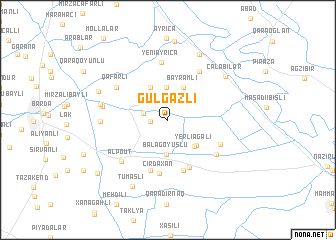
Gülgǝzli (Bǝrdǝ, Azerbaijan)Gülgǝzli is a town in the Bǝrdǝ region of Azerbaijan. An overview map of the region around Gülgǝzli is displayed below.
regional and 3d topo map of Gülgǝzli, Azerbaijan ::
Nearby towns ::
Mollamamedli (1.5km west) //
Otuzikilǝr (2.5km north west) //
Mollaisalar (2.2km west) //
Qaraqoyunlu (2.6km north west) //
Vǝliuşağı (3.6km north) //
Böyük Göyüşlü (3.8km south) //
Bala Göyüşlü (3.8km south) //
Bayramlı (3.8km north) //
Hacıǝhmǝdli (3.9km north west) //
Yerliağalı (3.7km south east) //
Hacılar (3.7km south east) //
Mustafaağalı (5.7km south) //
Arabaçılar (5.8km south) //
Osmanlar (5.8km south) //
Bozakhlar (5.8km south) //
Kǝpǝnǝkçi (5.9km south) //
Cırdaxan (6.0km south) //
Mollalı (5.2km south east) //
Yeni Əyricǝ (6.5km north) //
Nifçi (6.1km north east) //
Yuzbashilar (5.6km south east) //
Pernaklar (5.6km south east) //
Qafarlı (5.6km north west) //
Alpout (6.1km south west) //
Köbǝrkǝnd (5.7km west) //
Hǝsǝnli (5.8km west) //
Mirzǝxanqaraqoyunlu (6.0km west) //
Çǝlǝbilǝr (6.9km north east) //
Nǝcǝfqulubǝjli (7.8km north) //
[all distances 'as the bird flies' and approximate] 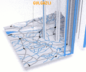 Places with similar names to Gülgǝzli, Azerbaijan ::
Disclaimer :: Information on this page comes without warranty of any kind |
||
|
Where is Gülgǝzli? Elevation and coordinates ::
Latitude (lat): 40°22'4"N Longitude (lon): 47°15'5"E
Elevation (approx.): 26m (map arrows pan, magnifying glasses zoom) |
||
|
Visiting Gülgǝzli? Hotel/Accommodation ::
Book a hotel in Gülgǝzli Travel Guide ::
Buy a travel guide for Azerbaijan rental cars ::
car rental offers GPS waypoint ::
download a GPX waypoint (PoI) of Gülgǝzli for your GPS receiver
|
||