|
search place name
|
||
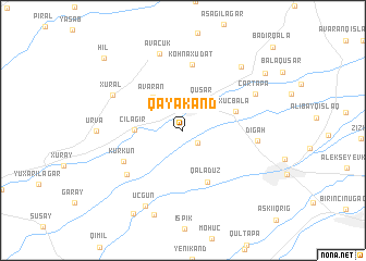
Qayakǝnd (Qusar, Azerbaijan)Qayakǝnd is a town in the Qusar region of Azerbaijan. An overview map of the region around Qayakǝnd is displayed below.
regional and 3d topo map of Qayakǝnd, Azerbaijan ::
Qayakǝnd airports ::
The nearest airport is MCX - Makhachkala Uytash, located 169.6 km north of Qayakǝnd.
Other airports nearby include BAK - Baku Heydar Aliyev (172.0 km south east), Nearby towns ::
Alpan (1.7km south east) //
Qusar (3.3km north east) //
Avaran (4.1km north west) //
Çilǝgir (3.7km west) //
Xucbala (4.5km north east) //
Qǝlǝduz (5.6km south) //
Köhnǝ Xudat (6.7km north) //
Kürkün (5.6km south west) //
Uzunmeşǝ (6.2km south west) //
Digah (5.9km east) //
Xurǝl (6.5km north west) //
Əvǝcük (8.1km north) //
Çartǝpǝ (6.7km north east) //
Uçgün (8.3km south) //
Köhnǝ Xudat Qazmalar (7.9km north east) //
Urva (6.7km west) //
Qǝçrǝş (9.0km south) //
Küpçal (9.3km south west) //
Hǝsǝnqala (8.7km north east) //
Hil (9.6km north west) //
[all distances 'as the bird flies' and approximate] 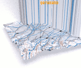 Places with similar names to Qayakǝnd, Azerbaijan ::
// Kayakent (TR)
// Kayakent (RU)
// Kayākānda (BD)
// Kouya Koundou (CF)
// Guayacundo (CO)
// Goyāgonda (IN)
// Kayakounda (ML)
// Kyigandaw (MM)
Disclaimer :: Information on this page comes without warranty of any kind |
||
|
Where is Qayakǝnd? Elevation and coordinates ::
Latitude (lat): 41°24'0"N Longitude (lon): 48°25'0"E
Elevation (approx.): 806m (map arrows pan, magnifying glasses zoom) |
||
|
Visiting Qayakǝnd? Hotel/Accommodation ::
Book a hotel in Qayakǝnd Travel Guide ::
Buy a travel guide for Azerbaijan rental cars ::
car rental offers GPS waypoint ::
download a GPX waypoint (PoI) of Qayakǝnd for your GPS receiver
|
||