|
search place name
|
||
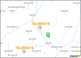
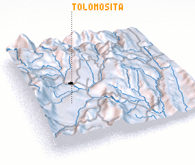
Tolomosita (Tarija, Bolivia)Tolomosita is a town in the Tarija region of Bolivia. An overview map of the region around Tolomosita is displayed below.
regional and 3d topo map of Tolomosita, Bolivia ::
Tolomosita airports ::
The nearest airport is TJA - Tarija Capitan Oriel Lea Plaza, located 4.1 km south east of Tolomosita.
Other airports nearby include BYC - Yacuiba (121.5 km south east), BJO - Bermejo (144.0 km south), ORA - Oran (184.1 km south), POI - Potosi Capitan Nicolas Rojas (243.3 km north west), Nearby towns ::
 Places with similar names to Tolomosita, Bolivia ::
// Tolomosita (BO)
// Talemsaout (MA)
// Talmast (MA)
// Talmest (MA)
// Tall Umm Zayyāt (EG)
// Talmest (MA)
// Talmest (MA)
// Talemast (MA)
// Talemsat (MA)
// Talmassout (MA)
Disclaimer :: Information on this page comes without warranty of any kind |
||
|
Where is Tolomosita? Elevation and coordinates ::
Latitude (lat): 21°32'0"S Longitude (lon): 64°44'0"W
Elevation (approx.): 1872m (map arrows pan, magnifying glasses zoom) |
||
|
Visiting Tolomosita? Hotel/Accommodation ::
Book a hotel in Tolomosita Travel Guide ::
Buy a travel guide for Bolivia rental cars ::
car rental offers GPS waypoint ::
download a GPX waypoint (PoI) of Tolomosita for your GPS receiver
|
||