|
search place name
|
||
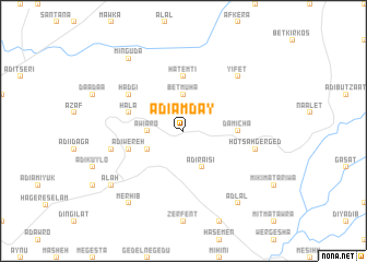
Ādī Āmday (Ethiopia)Ādī Āmday is a town in Ethiopia. An overview map of the region around Ādī Āmday is displayed below.
regional and 3d topo map of Ādī Āmday, Ethiopia ::
Ādī Āmday airports ::
The nearest airport is MQX - Makale, located 37.4 km south east of Ādī Āmday.
Other airports nearby include AXU - Axum (74.2 km north west), LLI - Lalibella (195.8 km south), GDQ - Gondar (241.8 km south west), Nearby towns ::
Āwiʼāro (3.6km west) //
Bēt Muha (3.7km north) //
Ādī Fertī (4.0km south west) //
Ādī Ra‘isī (4.1km south east) //
Hatemtī (5.6km north) //
Damīcha (5.4km east) //
Hala (5.7km west) //
Ādī Wereh (5.7km west) //
Hadgī (6.6km north west) //
Adi Borat (7.4km west) //
Hotsʼah Gerged (7.4km east) //
Yifet (7.8km north east) //
Minguda (9.2km north west) //
Merhīb (9.2km south west) //
Ālah (9.1km south west) //
Ādlal (9.2km south east) //
[all distances 'as the bird flies' and approximate] 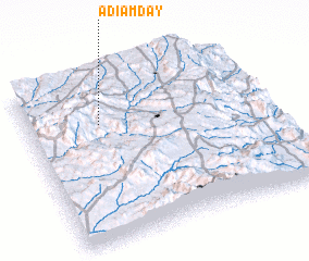 Places with similar names to Ādī Āmday, Ethiopia ::
// Atmata (LT)
// Aita Medie (RO)
// Atimed (TD)
// Atumate (TP)
// Adamata (ID)
// Aytymbet (KZ)
// Ad Dāmāt (SY)
// Adumata (NG)
// Attimoddai (LK)
// Aït Ahmed (MA)
Disclaimer :: Information on this page comes without warranty of any kind |
||
|
Where is Ādī Āmday? Elevation and coordinates ::
Latitude (lat): 13°43'0"N Longitude (lon): 39°18'0"E
Elevation (approx.): 2635m (map arrows pan, magnifying glasses zoom) |
||
|
Visiting Ādī Āmday? Hotel/Accommodation ::
Book a hotel in Ādī Āmday Travel Guide ::
Buy a travel guide for Ethiopia rental cars ::
car rental offers GPS waypoint ::
download a GPX waypoint (PoI) of Ādī Āmday for your GPS receiver
|
||