|
search place name
|
||
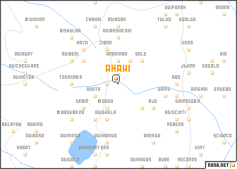
Āhawī (Ethiopia)Āhawī is a town in Ethiopia. An overview map of the region around Āhawī is displayed below.
regional and 3d topo map of Āhawī, Ethiopia ::
Āhawī airports ::
The nearest airport is MQX - Makale, located 88.6 km north of Āhawī.
Other airports nearby include LLI - Lalibella (98.5 km south west), AXU - Axum (184.1 km north west), Nearby towns ::
Sefer (1.9km north) //
Higumrda (1.8km west) //
Meswaʼit (3.1km north) //
Ārar Imba (3.7km north) //
Ādota (4.1km south west) //
Ezba (4.1km north east) //
Ādī Kʼashī (4.1km north east) //
Indodo (4.1km south west) //
Salē (5.2km north east) //
Kubē (5.2km south east) //
Ziban (5.8km north) //
Ādī Shela (5.8km south) //
Chʼekʼol (6.6km north west) //
Ādī Āba Musa (6.6km south west) //
Debir (6.6km south west) //
Ājo (6.6km south east) //
Ādī Āmshashī (7.4km north) //
Tsʼerkʼ Āba (7.2km west) //
Danīs (7.5km east) //
Haya (7.8km north west) //
Madley (7.8km north west) //
Ādī Berī (8.1km north west) //
Imba Sebaro (9.1km south west) //
Gira Gowa (9.1km south west) //
Bīshulha (10.4km north west) //
[all distances 'as the bird flies' and approximate] 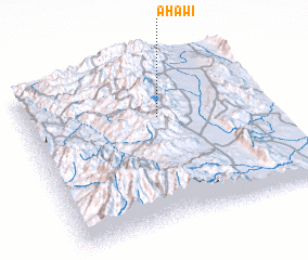 Places with similar names to Āhawī, Ethiopia ::
// Ahuwo (NG)
Disclaimer :: Information on this page comes without warranty of any kind |
||
|
Where is Āhawī? Elevation and coordinates ::
Latitude (lat): 12°40'0"N Longitude (lon): 39°33'0"E
Elevation (approx.): 2393m (map arrows pan, magnifying glasses zoom) |
||
|
Visiting Āhawī? Hotel/Accommodation ::
Book a hotel in Āhawī Travel Guide ::
Buy a travel guide for Ethiopia rental cars ::
car rental offers GPS waypoint ::
download a GPX waypoint (PoI) of Āhawī for your GPS receiver
|
||