|
search place name
|
||
Farchodēy (Ethiopia)Farchodēy is a town in Ethiopia. An overview map of the region around Farchodēy is displayed below.
regional and 3d topo map of Farchodēy, Ethiopia ::

Farchodēy airports ::
The nearest airport is DIR - Dire Dawa Intl, located 122.8 km west of Farchodēy.
Other airports nearby include HGA - Hargeisa Egal Intl (128.5 km east), Nearby towns ::
Jirhul (4.1km south west) //
Kʼebrī Āhmed (4.1km south east) //
Dugu (4.1km north east) //
Wajī (7.4km south) //
Loslē (7.8km north east) //
Tur‘ubdeysī (9.2km north east) //
[all distances 'as the bird flies' and approximate] 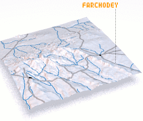 Places with similar names to Farchodēy, Ethiopia ::
// Fārsīāt (IR)
// Vresht (AL)
// Farshūţ (EG)
// Varishte (BG)
// Ghurghushti (PK)
// Ghurghushto (PK)
// Farishti (TJ)
// Fréchède (FR)
// Frashtā (LB)
// Frücht (DE)
Disclaimer :: Information on this page comes without warranty of any kind |
||
|
Where is Farchodēy? Elevation and coordinates ::
Latitude (lat): 9°20'0"N Longitude (lon): 42°56'0"E
Elevation (approx.): 1800m (map arrows pan, magnifying glasses zoom) |
||
|
Visiting Farchodēy? Hotel/Accommodation ::
Book a hotel in Farchodēy Travel Guide ::
Buy a travel guide for Ethiopia rental cars ::
car rental offers GPS waypoint ::
download a GPX waypoint (PoI) of Farchodēy for your GPS receiver
|
||