|
search place name
|
||
Phumĭ Kândal Phumĭ (Kâmpóng Cham, Cambodia)Phumĭ Kândal Phumĭ is a town in the Kâmpóng Cham region of Cambodia. An overview map of the region around Phumĭ Kândal Phumĭ is displayed below.
regional and 3d topo map of Phumĭ Kândal Phumĭ, Cambodia ::

Phumĭ Kândal Phumĭ airports ::
The nearest airport is PNH - Phnom-penh Phnom Penh Intl, located 127.1 km south west of Phumĭ Kândal Phumĭ.
Other airports nearby include SGN - Ho Chi Minh City Tansonnhat Intl (185.4 km south east), REP - Siem-reap Siem Reap (247.9 km north west), Nearby towns ::
Phumĭ Chŏng Phumĭ (1.8km west) //
Phumĭ Kbal Phumĭ (3.6km east) //
Phumĭ Svay Dâmnăk (3.6km east) //
Phumĭ Saôy (3.6km west) //
Phumĭ Bœ̆ng Rey (4.1km north west) //
Phumĭ Kaôh Phâl (1) (4.1km north west) //
Châmbák (5.2km north east) //
Phumĭ Chŭmnik (5.4km east) //
Phumĭ Âmpĭl (5.4km west) //
Phumĭ Chroŭy Âmpĭl (5.7km east) //
Phumĭ Traeuy Prêk (6.6km north west) //
Phumĭ Paeus (7.2km west) //
Phnum Pâkalei (8.1km north east) //
Phumĭ Baray (8.3km south east) //
Phumĭ Prêk Sdei (8.1km north west) //
Phumĭ Kâmpóng Rôvéang (9.1km south west) //
[all distances 'as the bird flies' and approximate] 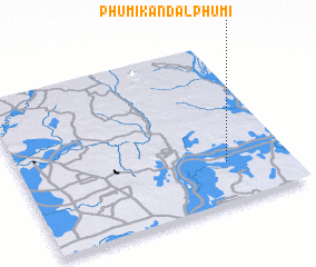 Places with similar names to Phumĭ Kândal Phumĭ, Cambodia :: Disclaimer :: Information on this page comes without warranty of any kind |
||
|
Where is Phumĭ Kândal Phumĭ? Elevation and coordinates ::
Latitude (lat): 12°15'0"N Longitude (lon): 105°46'0"E
Elevation (approx.): 9m (map arrows pan, magnifying glasses zoom) |
||
|
Visiting Phumĭ Kândal Phumĭ? Hotel/Accommodation ::
Book a hotel in Phumĭ Kândal Phumĭ Travel Guide ::
Buy a travel guide for Cambodia rental cars ::
car rental offers GPS waypoint ::
download a GPX waypoint (PoI) of Phumĭ Kândal Phumĭ for your GPS receiver
|
||