|
search place name
|
||
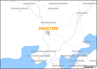
Phumĭ Ta Pa (Siĕm Réab, Cambodia)Phumĭ Ta Pa is a town in the Siĕm Réab region of Cambodia. An overview map of the region around Phumĭ Ta Pa is displayed below.
regional and 3d topo map of Phumĭ Ta Pa, Cambodia ::
Phumĭ Ta Pa airports ::
The nearest airport is REP - Siem-reap Siem Reap, located 74.5 km south east of Phumĭ Ta Pa.
Other airports nearby include NAK - Nakhon Ratchasima Khorat (181.5 km north west), Nearby towns ::
Phumĭ Koŭl (0.0km north) //
Phumĭ Rôlum Vêng (3.7km north) //
Phumĭ Ta Nôk (7.4km south) //
Phumĭ Thnóng Khang Cheung (7.6km south) //
[all distances 'as the bird flies' and approximate] 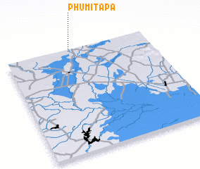 Places with similar names to Phumĭ Ta Pa, Cambodia ::
// Phumĭ Dépo (KH)
// Phumĭ Ta Paô (KH)
// Phumĭ Tapaô (KH)
// Phumĭ Ta Pŏu (KH)
// Phumĭ Tapŏu (KH)
// Phumĭ Ta Pôy (KH)
// Phumĭ Tipoŭ (KH)
// Phumĭ Tipoŭ (KH)
// Phum Tapô (VN)
Disclaimer :: Information on this page comes without warranty of any kind |
||
|
Where is Phumĭ Ta Pa? Elevation and coordinates ::
Latitude (lat): 13°59'0"N Longitude (lon): 103°27'0"E
Elevation (approx.): 27m (map arrows pan, magnifying glasses zoom) |
||
|
Visiting Phumĭ Ta Pa? Hotel/Accommodation ::
Book a hotel in Phumĭ Ta Pa Travel Guide ::
Buy a travel guide for Cambodia rental cars ::
car rental offers GPS waypoint ::
download a GPX waypoint (PoI) of Phumĭ Ta Pa for your GPS receiver
|
||