|
search place name
|
||
Kachubāri (Barisāl, Bangladesh)Kachubāri is a town in the Barisāl region of Bangladesh. An overview map of the region around Kachubāri is displayed below.
regional and 3d topo map of Kachubāri, Bangladesh ::

Kachubāri airports ::
The nearest airport is SPD - Saidpur, located 53.2 km south east of Kachubāri.
Other airports nearby include IXB - Baghdogra Bagdogra (68.8 km north), COH - Cooch-behar Cooch Behar (98.9 km east), BIR - Biratnagar (132.7 km west), PBH - Paro (171.9 km north east), Nearby towns ::
Bhātgaon (2.5km north west) //
Kiārīgaon (5.0km south east) //
Lauthuti (5.0km east) //
Lashkara (6.2km south east) //
Balia (6.2km north east) //
Gopālpur (6.9km east) //
Jagannāthpur (7.6km south) //
Bagulādāngi (6.9km east) //
Chāmeshwari (7.5km north west) //
Thākurgaon (7.5km south west) //
Gareya (7.6km south east) //
Khālisākuri (8.9km north east) //
[all distances 'as the bird flies' and approximate] 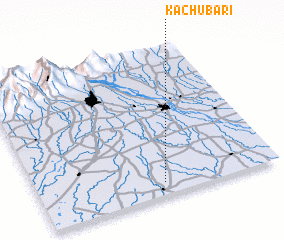 Places with similar names to Kachubāri, Bangladesh ::
// Gāchhābāri (BD)
// Gāchhbāri (BD)
// Gāchhbāria (BD)
// Gāchhbāria (BD)
// Gāchhuābāri (BD)
// Kāsiābāri (BD)
// Kāsiābāri (BD)
// Kāsiābāri (BD)
// Koshābar (BD)
// Kashebere (CD)
Disclaimer :: Information on this page comes without warranty of any kind |
||
|
Where is Kachubāri? Elevation and coordinates ::
Latitude (lat): 26°5'0"N Longitude (lon): 88°31'0"E
Elevation (approx.): 56m (map arrows pan, magnifying glasses zoom) |
||
|
Visiting Kachubāri? Hotel/Accommodation ::
Book a hotel in Kachubāri Travel Guide ::
Buy a travel guide for Bangladesh rental cars ::
car rental offers GPS waypoint ::
download a GPX waypoint (PoI) of Kachubāri for your GPS receiver
|
||