|
search place name
|
||
Gabé-Tounga (Benin)Gabé-Tounga is a town in Benin. An overview map of the region around Gabé-Tounga is displayed below.
regional and 3d topo map of Gabé-Tounga, Benin ::

Gabé-Tounga airports ::
The nearest airport is SKO - Sokoto Sadiq Abubakar Iii Intl, located 223.2 km north east of Gabé-Tounga.
Other airports nearby include NIM - Niamey Diori Hamani (250.4 km north west), Nearby towns ::
Madékali (4.1km north west) //
Lollo (4.4km south east) //
Tounga Zakari (5.8km north) //
Tungan Rogo (5.8km east) //
Zanloa Tounga (5.8km north) //
Tounga Takoubou (6.6km north east) //
Dolé (6.6km north east) //
Guindogoloma (6.6km north east) //
Tondio (7.6km south) //
Tounga Aoudou (7.8km north east) //
Naffa (8.2km south west) //
Kokwali (8.2km north east) //
Tounga Koma (8.3km north east) //
Ladankpira (9.2km north east) //
Doka (9.2km north west) //
Kasale (10.4km south east) //
Garoutégui (10.4km north west) //
Tounga Wondarou (10.4km north east) //
[all distances 'as the bird flies' and approximate] 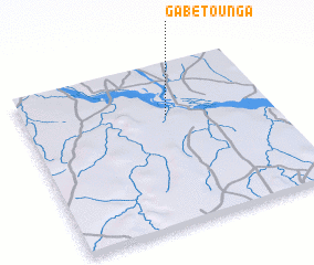 Places with similar names to Gabé-Tounga, Benin ::
Disclaimer :: Information on this page comes without warranty of any kind |
||
|
Where is Gabé-Tounga? Elevation and coordinates ::
Latitude (lat): 11°41'0"N Longitude (lon): 3°35'0"E
Elevation (approx.): 159m (map arrows pan, magnifying glasses zoom) |
||
|
Visiting Gabé-Tounga? Hotel/Accommodation ::
Book a hotel in Gabé-Tounga Travel Guide ::
Buy a travel guide for Benin rental cars ::
car rental offers GPS waypoint ::
download a GPX waypoint (PoI) of Gabé-Tounga for your GPS receiver
|
||