|
search place name
|
||
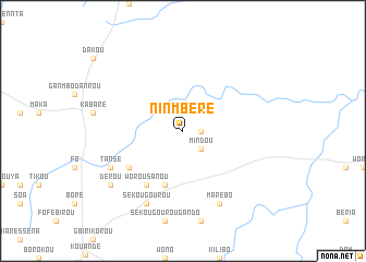
Ninmbéré (Benin)Ninmbéré is a town in Benin. An overview map of the region around Ninmbéré is displayed below.
regional and 3d topo map of Ninmbéré, Benin ::
Ninmbéré airports ::
The nearest airport is LRL - Niatougou Niamtougou International, located 107.0 km south west of Ninmbéré.
Nearby towns ::
Gounobiné (1.8km east) //
Mindou (2.6km south east) //
Séra (5.9km south) //
Worou Sanou (6.6km south west) //
Daro-Wirou (6.6km south west) //
Tansé (8.2km south west) //
Sékougourou (8.3km south west) //
Marébo (8.3km south east) //
Dérou (9.2km south west) //
[all distances 'as the bird flies' and approximate] 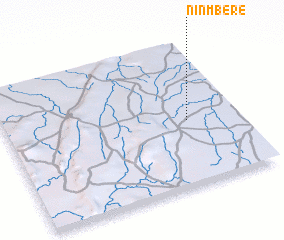 Places with similar names to Ninmbéré, Benin ::
// Neuenmuhr (DE)
// Nanumure (LK)
// Niani Maru (GM)
// Niénéméré (GN)
// Nanamira (MZ)
// Nan Mare (HT)
// Nan Marreau (HT)
// Nan Moreau (HT)
// Nonmi-ri (KR)
// Nanamorou (VU)
Disclaimer :: Information on this page comes without warranty of any kind |
||
|
Where is Ninmbéré? Elevation and coordinates ::
Latitude (lat): 10°27'0"N Longitude (lon): 1°47'0"E
Elevation (approx.): 397m (map arrows pan, magnifying glasses zoom) |
||
|
Visiting Ninmbéré? Hotel/Accommodation ::
Book a hotel in Ninmbéré Travel Guide ::
Buy a travel guide for Benin rental cars ::
car rental offers GPS waypoint ::
download a GPX waypoint (PoI) of Ninmbéré for your GPS receiver
|
||