|
search place name
|
||
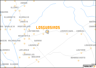
Los Guásimos (Magdalena, Colombia)Los Guásimos is a town in the Magdalena region of Colombia. An overview map of the region around Los Guásimos is displayed below.
regional and 3d topo map of Los Guásimos, Colombia ::
Los Guásimos airports ::
The nearest airport is VUP - Valledupar Alfonso Lopez Pumarejo, located 77.4 km north east of Los Guásimos.
Other airports nearby include SMR - Santa Marta Simon Bolivar (123.7 km north), BAQ - Barranquilla Ernesto Cortissoz (136.6 km north west), MGN - Magangue Baracoa (139.4 km south west), CZU - Corozal Las Brujas (177.2 km south west), Nearby towns ::
Betulia (1.8km west) //
Las Pavitas (2.6km north west) //
Durania (5.2km south west) //
Los Tábanos (5.5km west) //
Las Mercedes (7.3km east) //
Chapinero (7.5km west) //
La Estancia Vieja (7.5km west) //
La Estación (7.5km west) //
La Gran Vía (7.8km south west) //
[all distances 'as the bird flies' and approximate] 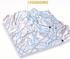 Places with similar names to Los Guásimos, Colombia ::
// Los Guásimos (PA)
// Los Guásimos (PA)
// Las Casimbas (CU)
// Las Guásimas (CU)
// Las Guásimas (CU)
// Las Guásimas (CU)
// Las Guásimas (CU)
// Las Guásimas (CU)
// Las Guásimas (CU)
// Las Guásimas (CU)
Disclaimer :: Information on this page comes without warranty of any kind |
||
|
Where is Los Guásimos? Elevation and coordinates ::
Latitude (lat): 10°4'0"N Longitude (lon): 73°51'0"W
Elevation (approx.): 187m (map arrows pan, magnifying glasses zoom) |
||
|
Visiting Los Guásimos? Hotel/Accommodation ::
Book a hotel in Los Guásimos Travel Guide ::
Buy a travel guide for Colombia rental cars ::
car rental offers GPS waypoint ::
download a GPX waypoint (PoI) of Los Guásimos for your GPS receiver
|
||