|
search place name
|
||
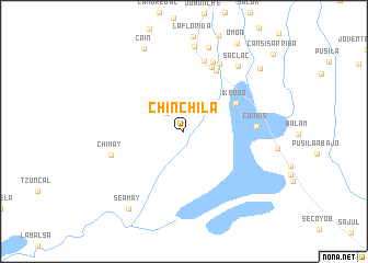
Chinchilá (Petén, Guatemala)Chinchilá is a town in the Petén region of Guatemala. An overview map of the region around Chinchilá is displayed below.
regional and 3d topo map of Chinchilá, Guatemala ::
Chinchilá airports ::
The nearest airport is CBV - Coban, located 125.4 km south west of Chinchilá.
Other airports nearby include SAP - San Pedro Sula La Mesa Intl (179.4 km south east), BZE - Belize City Philip S W Goldson Intl (198.5 km north east), GUA - Guatemala City La Aurora (205.8 km south west), TEA - Tela (214.7 km east), Nearby towns ::
La Caoba (2.5km north west) //
Ixbobó (5.8km north east) //
Chuctí (7.0km north east) //
Noctún (7.1km north east) //
Cansís (7.2km east) //
Cruces de Chinchilla (7.5km north) //
La Unión (7.6km north) //
Nactún (7.8km north east) //
Chimay (7.6km west) //
Saclac (8.5km north east) //
San Luis (8.7km north) //
Ixyuc (8.8km north) //
Caín (9.3km north west) //
Seamay (9.6km south west) //
Ixbobó Enmedio (9.8km north east) //
[all distances 'as the bird flies' and approximate] 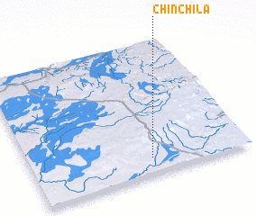 Places with similar names to Chinchilá, Guatemala ::
// Chunchula (US)
// Chinchila (CU)
// Chinchilla (US)
// Chanchil (GT)
// Chinchilla (GT)
// Shanshul (GT)
// Chinchali (IN)
// Chincholi (IN)
// Chincholi (IN)
// Chunchil (MX)
Disclaimer :: Information on this page comes without warranty of any kind |
||
|
Where is Chinchilá? Elevation and coordinates ::
Latitude (lat): 16°7'16"N Longitude (lon): 89°26'58"W
Elevation (approx.): 291m (map arrows pan, magnifying glasses zoom) |
||
|
Visiting Chinchilá? Hotel/Accommodation ::
Book a hotel in Chinchilá Travel Guide ::
Buy a travel guide for Guatemala rental cars ::
car rental offers GPS waypoint ::
download a GPX waypoint (PoI) of Chinchilá for your GPS receiver
|
||