|
search place name
|
||
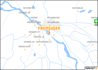
Fakīrgūdem (Andhra Pradesh, India)Fakīrgūdem is a town in the Andhra Pradesh region of India. An overview map of the region around Fakīrgūdem is displayed below.
regional and 3d topo map of Fakīrgūdem, India ::
Fakīrgūdem airports ::
The nearest airport is VGA - Vijayawada, located 18.2 km east of Fakīrgūdem.
Other airports nearby include RJA - Rajahmundry (144.1 km north east), CDP - Cuddapah (295.9 km south west), Nearby towns ::
Prātūr (1.9km south) //
Mogalrājapuram (1.9km north) //
Buckinghampet (1.9km north) //
Anumalkudūru (1.8km east) //
Patamata (1.8km east) //
Patamatalanka (1.8km east) //
Mohammadnagar (2.6km north east) //
Polakampad (3.6km west) //
Sītānagaram (3.6km west) //
Tādepalle (3.6km west) //
Mutyālammapādu (3.7km north) //
Kunchanapalle (4.1km south west) //
Tādepalle (4.0km south west) //
Vijayawāda (4.1km north west) //
Mātsavaram (4.1km north east) //
Kolanukonda (5.1km south west) //
Wynchpet (5.1km north west) //
Gunadala (5.1km north east) //
Undavalle (5.3km west) //
Payikāpuram (5.8km north) //
Bhavānipuram (6.5km north west) //
Penumāka (7.1km west) //
Dargāh (7.7km north west) //
Errabālem (8.0km south west) //
Gollapūdi (9.0km north west) //
[all distances 'as the bird flies' and approximate] 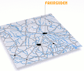 Places with similar names to Fakīrgūdem, India :: Disclaimer :: Information on this page comes without warranty of any kind |
||
|
Where is Fakīrgūdem? Elevation and coordinates ::
Latitude (lat): 16°29'0"N Longitude (lon): 80°38'0"E
Elevation (approx.): 11m (map arrows pan, magnifying glasses zoom) |
||
|
Visiting Fakīrgūdem? Hotel/Accommodation ::
Book a hotel in Fakīrgūdem Travel Guide ::
Buy a travel guide for India rental cars ::
car rental offers GPS waypoint ::
download a GPX waypoint (PoI) of Fakīrgūdem for your GPS receiver
|
||