|
search place name
|
||
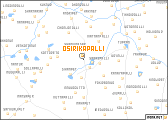
Osirikāpalli (Andhra Pradesh, India)Osirikāpalli is a town in the Andhra Pradesh region of India. An overview map of the region around Osirikāpalli is displayed below.
regional and 3d topo map of Osirikāpalli, India ::
Osirikāpalli airports ::
The nearest airport is HYD - Hyderabad, located 41.2 km south of Osirikāpalli.
Nearby towns ::
Donti (1.8km east) //
Makhdūmpur (2.0km south east) //
Shānidnagar (3.0km north west) //
Sabāspalli (3.4km east) //
Chandi (4.0km south) //
Siwampet (4.4km south west) //
Kantānpalli (5.2km north east) //
Potawaram (5.5km south east) //
Ratnapur (5.7km west) //
Charlapalli (6.9km north west) //
Dandanpalli (7.0km north east) //
Kottapeta (7.1km west) //
Peddagutta (7.5km south) //
Hastalpur (7.6km north) //
Fakīrbanda (7.7km south east) //
Dayelli (7.4km east) //
Pilūtla (7.7km west) //
Kishtareddipalli (7.8km west) //
Gomāram (8.3km south) //
Melūr (8.6km north) //
Rāmayapalli (9.1km south east) //
Ennelli (9.6km south east) //
Istraopet (10.0km north west) //
Bomāram (10.2km north east) //
Jīdpalli (11.5km south east) //
[all distances 'as the bird flies' and approximate] 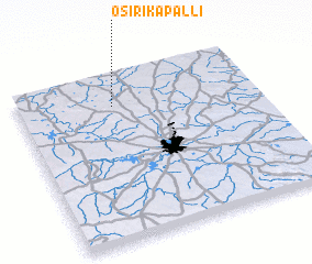 Places with similar names to Osirikāpalli, India :: Disclaimer :: Information on this page comes without warranty of any kind |
||
|
Where is Osirikāpalli? Elevation and coordinates ::
Latitude (lat): 17°49'8"N Longitude (lon): 78°23'52"E
Elevation (approx.): 551m (map arrows pan, magnifying glasses zoom) |
||
|
Visiting Osirikāpalli? Hotel/Accommodation ::
Book a hotel in Osirikāpalli Travel Guide ::
Buy a travel guide for India rental cars ::
car rental offers GPS waypoint ::
download a GPX waypoint (PoI) of Osirikāpalli for your GPS receiver
|
||