|
search place name
|
||
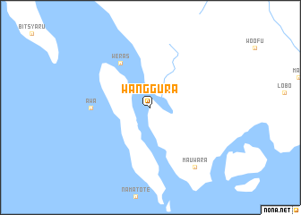
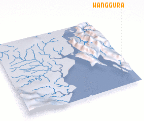
Wanggura (Indonesia)Wanggura is a town in Indonesia. An overview map of the region around Wanggura is displayed below.
regional and 3d topo map of Wanggura, Indonesia ::
Wanggura airports ::
The nearest airport is KNG - Kaimana, located 29.7 km north west of Wanggura.
Other airports nearby include BXB - Babo (147.1 km north), NBX - Nabire (179.2 km east), FKQ - Fak Fak (207.5 km north west), Nearby towns ::
 Places with similar names to Wanggura, Indonesia ::
// Winokur (US)
// Winna Góra (PL)
// Winna Góra (PL)
// Waingaro (NZ)
// Wenagourou (BJ)
// Wangara (BF)
// Wonkoro (BF)
// Wangara (CD)
// Wunakir (SD)
// Wunkir (SD)
Disclaimer :: Information on this page comes without warranty of any kind |
||
|
Where is Wanggura? Elevation and coordinates ::
Latitude (lat): 3°46'0"S Longitude (lon): 133°56'0"E
Elevation (approx.): 16m (map arrows pan, magnifying glasses zoom) |
||
|
Visiting Wanggura? Hotel/Accommodation ::
Book a hotel in Wanggura Travel Guide ::
Buy a travel guide for Indonesia rental cars ::
car rental offers GPS waypoint ::
download a GPX waypoint (PoI) of Wanggura for your GPS receiver
|
||