|
search place name
|
||
La Herradura (Hidalgo, Mexico)La Herradura is a town in the Hidalgo region of Mexico. An overview map of the region around La Herradura is displayed below.
regional and 3d topo map of La Herradura, Mexico ::

La Herradura airports ::
The nearest airport is PAZ - Poza Rico Tajin, located 108.6 km south east of La Herradura.
Other airports nearby include TSL - Tamuin (112.5 km north west), PCA - Pachuca Ingeniero Juan Guillermo Villasana (123.6 km south), TAM - Tampico General Francisco Javier Mina Intl (139.9 km north), TXA - Tlaxcala (175.7 km south), Nearby towns ::
Huitzachahuatl (0.9km west) //
Coyuco (1.8km east) //
Chatahuiyapa (3.8km north) //
Tempexquite (3.8km south) //
Los Otates (3.8km north) //
Santa Catarina (3.7km south west) //
Cacateco (3.9km north east) //
Axole (4.4km south east) //
Calmecate (5.1km north) //
Ohiquemecatitla (5.1km west) //
Motoltepec (5.6km north) //
Súchil (5.2km west) //
Tenoxco (5.6km south) //
Chacatitla (5.5km west) //
Frijolillo (5.8km south) //
Tlacaxqueco (5.9km south east) //
El Copal (6.3km south east) //
Tenexco (6.5km south west) //
Cuatapa (6.5km south west) //
Humotitla (6.7km south west) //
Congreso Permanente Agrario (6.6km east) //
Candelaria (6.8km south west) //
Xonatla (6.7km east) //
Huejutla de Reyes (7.2km west) //
Río Plátano (7.2km east) //
Rancho Viejo (7.4km north east) //
Ixtacuayo (7.5km south west) //
Los Parajes (7.6km north east) //
Tlaltlaxqueco (7.6km south east) //
[all distances 'as the bird flies' and approximate] 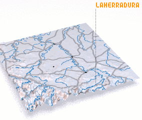 Places with similar names to La Herradura, Mexico ::
// La Herradura (PA)
// La Herradura (PA)
// La Herradura (CU)
// La Herradura (CU)
// La Herradura (CU)
// La Herradura (CU)
// La Herradura (ES)
// Loharitro (MG)
// La Herradura (CL)
// La Herradura (CO)
Disclaimer :: Information on this page comes without warranty of any kind |
||
|
Where is La Herradura? Elevation and coordinates ::
Latitude (lat): 21°7'0"N Longitude (lon): 98°21'0"W
Elevation (approx.): 149m (map arrows pan, magnifying glasses zoom) |
||
|
Visiting La Herradura? Hotel/Accommodation ::
Book a hotel in La Herradura Travel Guide ::
Buy a travel guide for Mexico rental cars ::
car rental offers GPS waypoint ::
download a GPX waypoint (PoI) of La Herradura for your GPS receiver
|
||